Ma Wan, Hong Kong
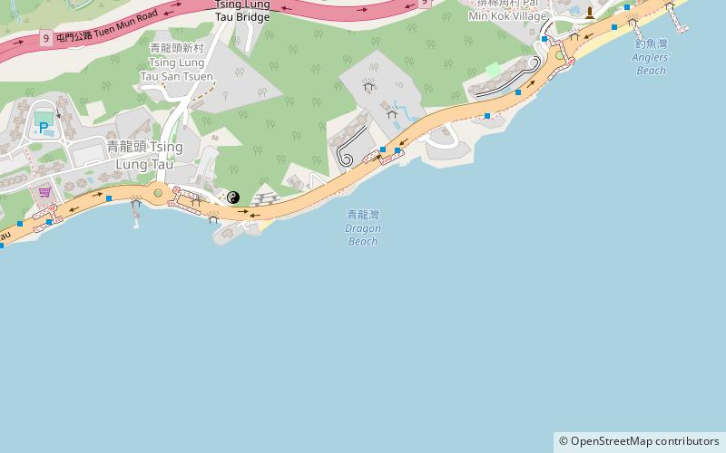
Map
Gallery
Facts and practical information
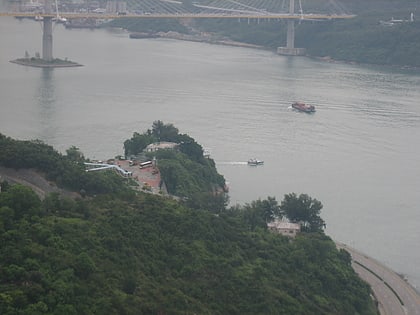
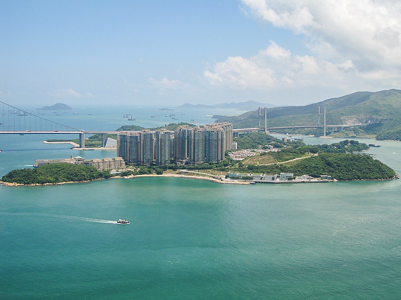
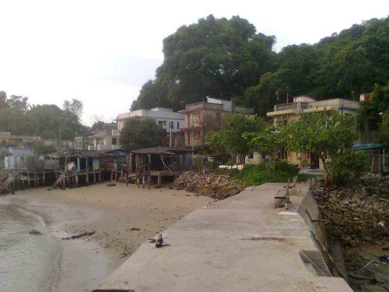
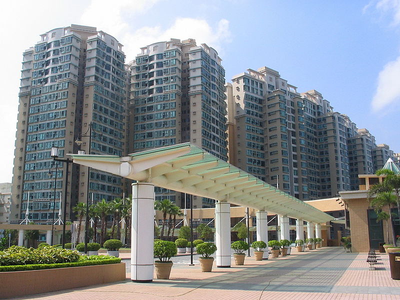
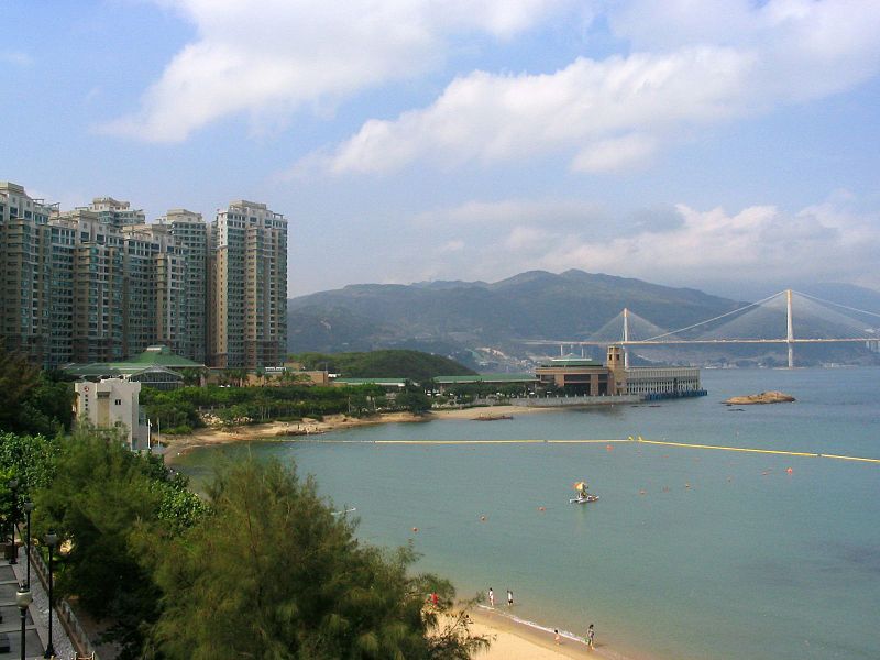
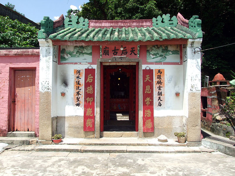
Ma Wan is an island of Hong Kong, located between Lantau Island and Tsing Yi Island, with an area of 0.97 square kilometres. Administratively, it is part of Tsuen Wan District. ()
Address
荃湾区 (马湾)Hong Kong
ContactAdd
Social media
Add
Day trips
Ma Wan – popular in the area (distance from the attraction)
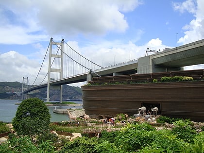
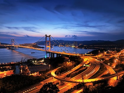
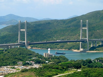
Nearby attractions include: Noah's Ark, Tsing Ma Bridge, Lantau Link, Kap Shui Mun Bridge.
Frequently Asked Questions (FAQ)
Which popular attractions are close to Ma Wan?
Nearby attractions include Ma Wan Park, Hong Kong (2 min walk), Ma Wan Viaduct, Hong Kong (3 min walk), Noah's Ark, Hong Kong (4 min walk), Ma Wan Tung Wan Beach, Hong Kong (7 min walk).
How to get to Ma Wan by public transport?
The nearest stations to Ma Wan:
Bus
Ferry
Bus
- Ma Wan (3 min walk)
- Park Island (9 min walk)
Ferry
- Park Island Pier • Lines: Park Island - Central (11 min walk)



 MTR
MTR LTR
LTR Tram
Tram