Kap Shui Mun Bridge, Hong Kong
Map
Gallery
Facts and practical information
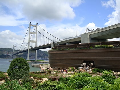
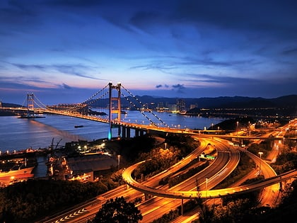
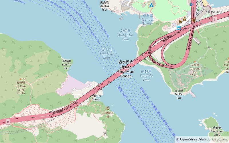
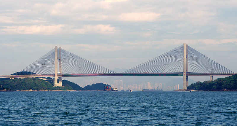
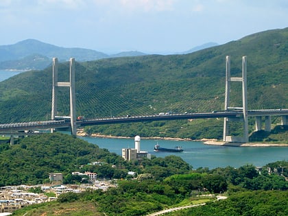
The Kap Shui Mun Bridge in Hong Kong, part of Lantau Link of Route 8, is one of the longest cable-stayed bridges in the world that transports both road and railway traffic, with the upper deck used for motor vehicles and the lower deck used for both vehicles and the MTR. It has a main span of 430 metres and an overall length of 750 metres. It spans the Kap Shui Mun marine channel between Ma Wan and Lantau and has a vertical clearance of 47 metres above sea level. The bridge was completed in 1997. ()
Day trips
Kap Shui Mun Bridge – popular in the area (distance from the attraction)
Nearby attractions include: Noah's Ark, Tsing Ma Bridge, Lantau Link, Ma Wan Park.
Frequently Asked Questions (FAQ)
Which popular attractions are close to Kap Shui Mun Bridge?
Nearby attractions include Ma Wan Park, Hong Kong (11 min walk), Ma Wan Viaduct, Hong Kong (12 min walk), Ma Wan, Hong Kong (12 min walk), Noah's Ark, Hong Kong (14 min walk).
How to get to Kap Shui Mun Bridge by public transport?
The nearest stations to Kap Shui Mun Bridge:
Bus
Ferry
Bus
- Ma Wan (10 min walk)
- Park Island (21 min walk)
Ferry
- Park Island Pier • Lines: Park Island - Central (22 min walk)
 MTR
MTR LTR
LTR Tram
Tram