Long Ke Wan, Hong Kong
Facts and practical information
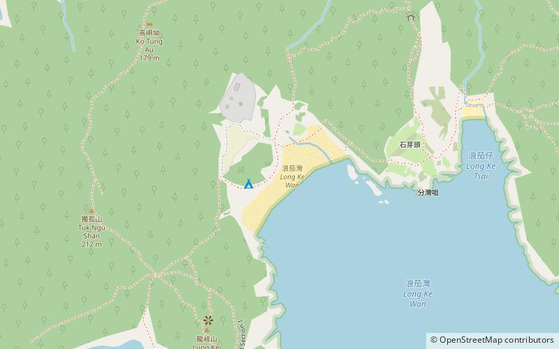
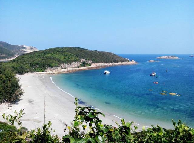
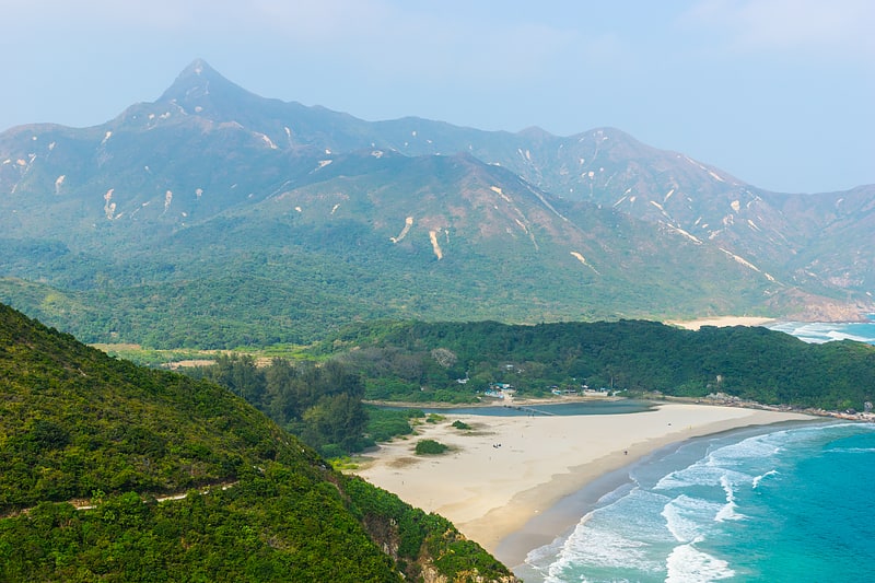
Long Ke Wan (address: Long Ke Wan, Sai Kung East Country Park) is a place located in Hong Kong (Sai Kung district) and belongs to the category of beach, outdoor activities, park.
It is situated at an altitude of 13 feet, and its geographical coordinates are 22°22'27"N latitude and 114°22'34"E longitude.
Planning a visit to this place, one can easily and conveniently get there by public transportation. Long Ke Wan is a short distance from the following public transport stations: East Dam of High Island Reservoir (bus, 23 min walk).
Among other places and attractions worth visiting in the area are: Sai Wan Shan (hill, 23 min walk), Jian zhu wan gun shi tan (beach, 30 min walk), Conic Island (island, 32 min walk).
Long Ke Wan, Sai Kung East Country Park西贡区 (xi gong qu)Hong Kong
- Bus
 Bus
Bus
- Calculate routeEast Dam of High Island Reservoir 23 min walk
 MTRMaps
 LTRMaps
 Tram
Tram


Frequently Asked Questions (FAQ)
How to get to Long Ke Wan by public transport?
Bus
- East Dam of High Island Reservoir • Lines: 9A (23 min walk)