Kai Tak Development, Hong Kong

Gallery (7)
Map

Map

Gallery
Facts and practical information
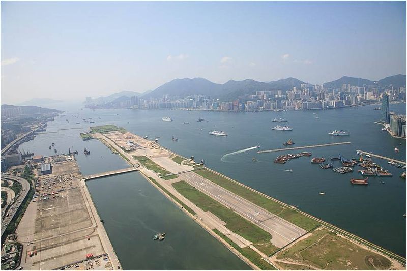
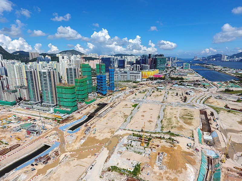
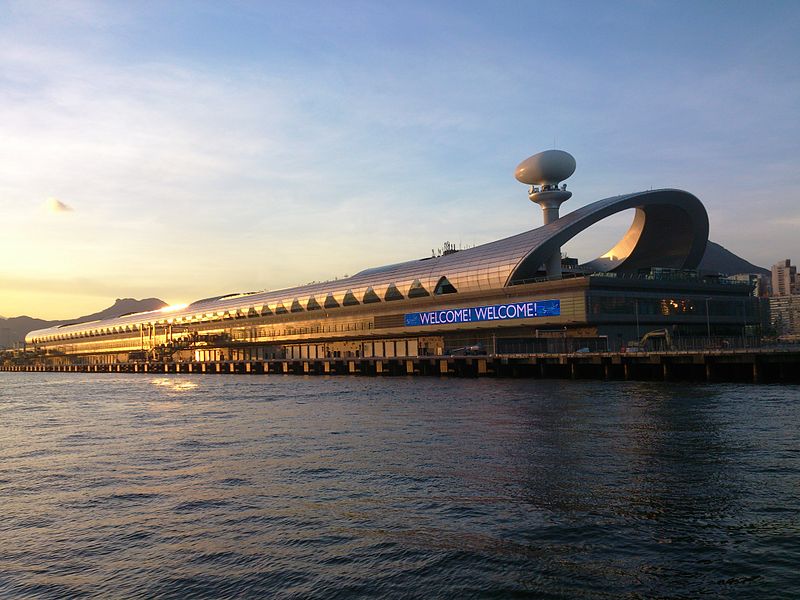
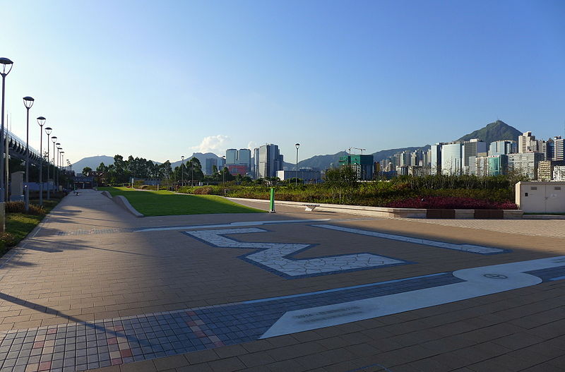
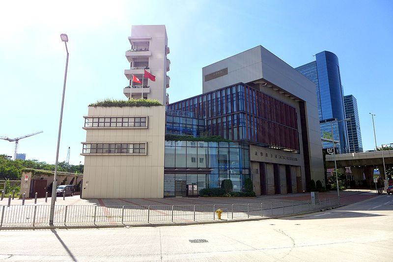
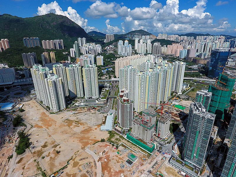
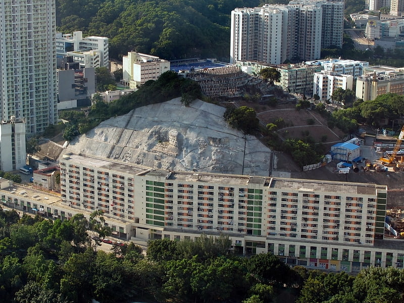
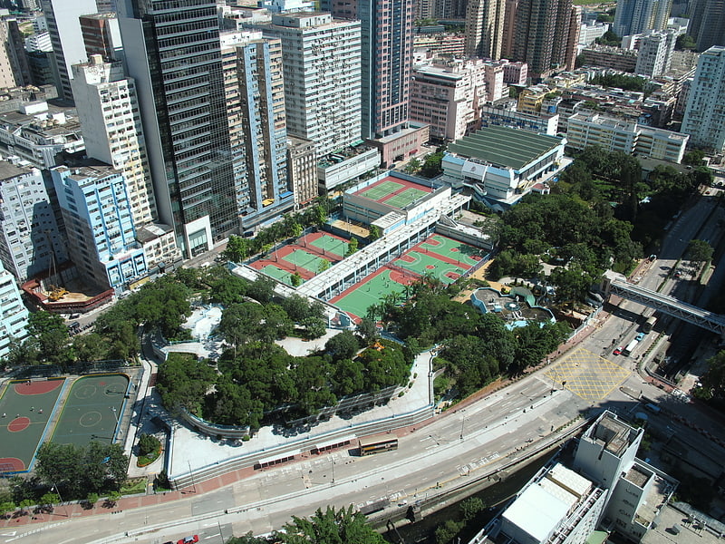
The Kai Tak Development, abbreviated as "KTD" and formerly called South East Kowloon Development, refers to the redevelopment of the former Kai Tak Airport site in Kai Tak, Kowloon, Hong Kong. ()
Address
Hong Kong
ContactAdd
Social media
Add
Getting there by public transportation
Public transportation stops near this location
- Metro
- Bus
- Train
 Metro
Metro
- Calculate routeKai Tak 3 min walk
- Calculate routeSung Wong Toi 13 min walk
- Calculate routeDiamond Hill 20 min walk
- Calculate routeChoi Hung 21 min walk
- Calculate routeThe Latitude 7 min walk
- Calculate routeKai Tak 7 min walk
- Calculate routeSan Po Kong 9 min walk
- Calculate routeKing Tai Street 9 min walk
- Calculate routeSung Wong Toi 13 min walk
- Calculate routeTo Kwa Wan 28 min walk
Maps MTRMaps
 LTRMaps
 Tram
Tram
MTRMapsLTRMapsTramDay trips


Frequently Asked Questions (FAQ)
Which popular attractions are close to Kai Tak Development?
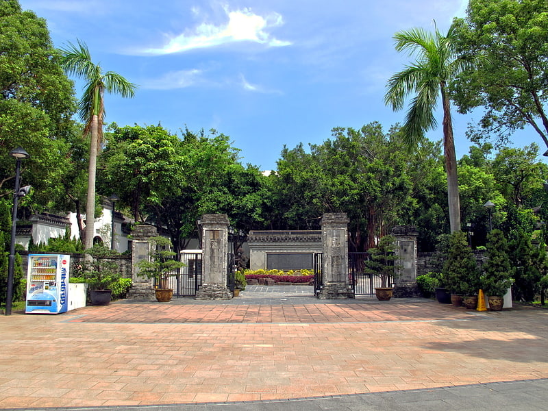
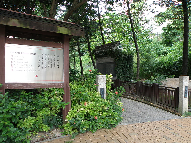
Nearby attractions include Hammer Hill, Hong Kong (8 min walk), Kai Tak Tunnel, Hong Kong (11 min walk), Kowloon Bay Park, Hong Kong (13 min walk), San Po Kong, Hong Kong (14 min walk).
How to get to Kai Tak Development by public transport?
The nearest stations to Kai Tak Development:
Metro
Bus
Train
Metro
- Kai Tak • Lines: Tml (3 min walk)
- Sung Wong Toi • Lines: Tml (13 min walk)
Bus
- The Latitude • Lines: 92R (7 min walk)
- Kai Tak (7 min walk)
Train
- Sung Wong Toi (13 min walk)
- To Kwa Wan (28 min walk)