Hutang, Changzhou
Map
Facts and practical information
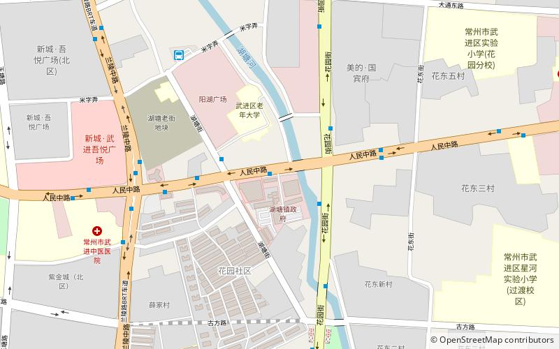
Hutang Town is the government headquarters of Wujin District in Changzhou City. It is the center of Wujin District in economy, politics and culture. Hutang Town covers an area of 84 square kilometers. It has a population of 200,000, of which 128,000 residents. Hutang is known as one of "Top Towns" in Jiangsu Province. ()
Address
Changzhou
ContactAdd
Social media
Add
Getting there by public transportation
Public transportation stops near this location
- Metro
- Bus
 Metro
Metro
- Calculate route人民商场 3 min walk
- Calculate route花园街人民路 3 min walk
- Calculate route东风桥 5 min walk
- Calculate route人民路兰陵路 6 min walk
- Calculate routeHutang 9 min walk
- Calculate routeJuhu Road 14 min walk
Day trips


Frequently Asked Questions (FAQ)
How to get to Hutang by public transport?
The nearest stations to Hutang:
Bus
Metro
Bus
- 人民商场 • Lines: 288, 501, 71, B15 (3 min walk)
- 花园街人民路 • Lines: 20, 288, 302, 71 (3 min walk)
Metro
- Hutang • Lines: 常州地铁1号线 南夏墅-森林公园, 常州地铁1号线 森林公园-南夏墅 (9 min walk)
- Juhu Road • Lines: 常州地铁1号线 南夏墅-森林公园, 常州地铁1号线 森林公园-南夏墅 (14 min walk)