West Kowloon, Hong Kong
Map
Gallery
Facts and practical information
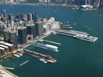
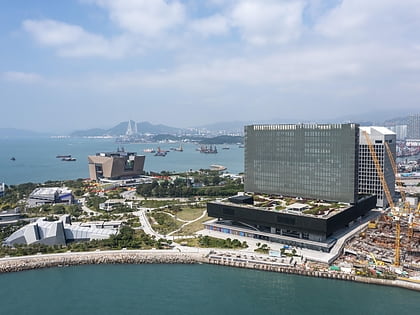
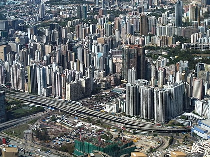
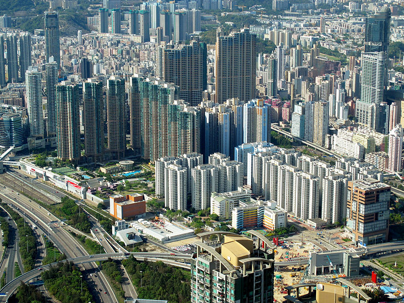
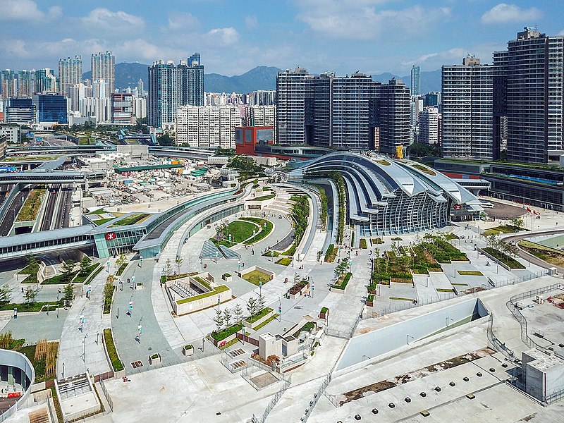
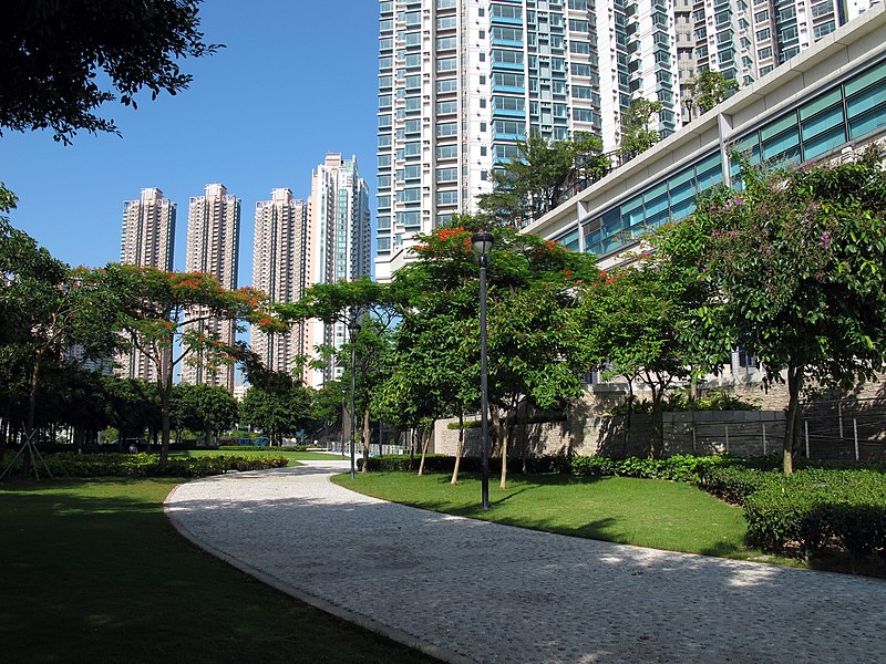
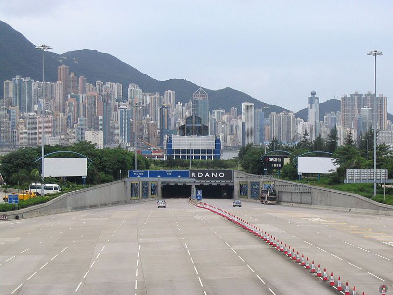
West Kowloon is the western part of Kowloon Peninsula in Hong Kong, situated within the Yau Tsim Mong District and Sham Shui Po District. It is bounded by Canton Road to the east, Victoria Harbour to the west and the south, and Jordan Road to the north. Further to the north, the area extends to Tai Kok Tsui to the west of the West Kowloon Highway. Nam Cheong, Olympic, Austin and Kowloon stations are within the area. ()
Address
Hong Kong
ContactAdd
Social media
Add
Day trips
West Kowloon – popular in the area (distance from the attraction)
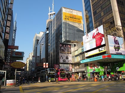
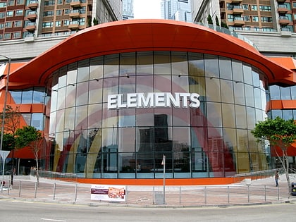
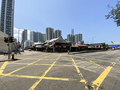
Nearby attractions include: Nathan Road, Elements, Yau Ma Tei Fruit Market, Harbour City.
Frequently Asked Questions (FAQ)
Which popular attractions are close to West Kowloon?
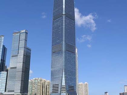
Nearby attractions include Union Square, Hong Kong (1 min walk), The Cullinan, Hong Kong (2 min walk), Sky100, Hong Kong (4 min walk), International Commerce Centre, Hong Kong (5 min walk).
How to get to West Kowloon by public transport?
The nearest stations to West Kowloon:
Metro
Bus
Train
Ferry
Tram
Metro
- Kowloon • Lines: Ael, Tcl (1 min walk)
- Austin • Lines: Tml (8 min walk)
Bus
- Coach to Macau (2 min walk)
- Kowloon Station (3 min walk)
Train
- Hong Kong West Kowloon (5 min walk)
Ferry
- Star Ferry Pier (23 min walk)
Tram
- Connaught Road West • Lines: 北角 → 石塘咀 North Point → Shek Tong, 筲箕灣 → 堅尼地城 Shau Kei Wan → Kenned, 跑馬地 → 堅尼地城 Happy Valley → Kenned, 銅鑼灣 → 石塘咀 Causeway Bay → Shek To (37 min walk)



 MTR
MTR LTR
LTR Tram
Tram