Tamá National Natural Park
Map

Map

Facts and practical information
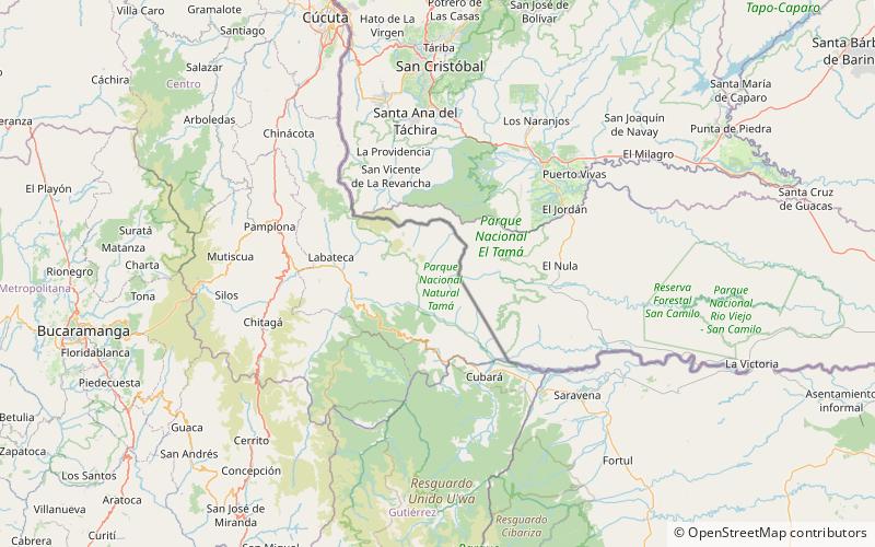
The Tamá National Natural Park is a national park located in the Tamá Massif of the Andean Region of Colombia, between the municipalities Toledo and Herrán, in the department of Norte de Santander, in the northeastern part of the Eastern Ranges of the Colombian Andes. One of the main attractions of the park is a 820-metre-high waterfall, one of the world's highest. ()
Local name: Parque nacional natural Tamá Established: 1977 (49 years ago)Elevation: 5279 ft a.s.l.Coordinates: 7°15'31"N, 72°13'34"W
Location
Norte de Santander
ContactAdd
Social media
Add
Best Ways to Experience the Park
Wildlife
AnimalsSee what popular animal species you can meet in this location.
More


