Bahia Concha, Santa Marta

Gallery (1)
Map
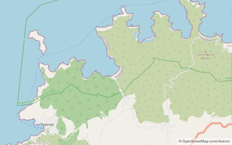
Map
Facts and practical information
Bahia Concha (address: Bahía Concha) is a place located in Santa Marta (Magdalena department) and belongs to the category of beach.
It is situated at an altitude of 3 feet, and its geographical coordinates are 11°17'54"N latitude and 74°8'56"W longitude.
Among other places and attractions worth visiting in the area are: Taganga (village, 90 min walk), Playa Grande (beach, 96 min walk), Estadio Eduardo Santos (football, 131 min walk).
Coordinates: 11°17'54"N, 74°8'56"W
Day trips