Playa Grande, Santa Marta
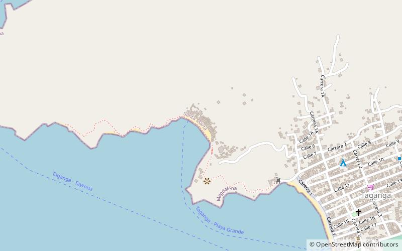
Map
Gallery
Facts and practical information
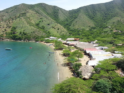
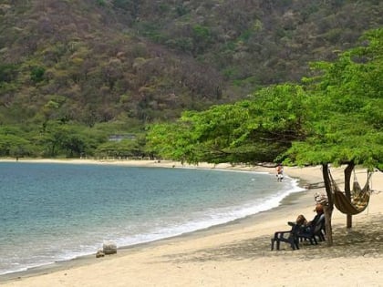
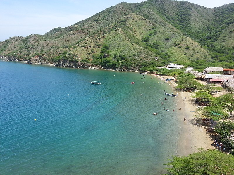
Playa Grande is a place located in Santa Marta (Magdalena department) and belongs to the category of beach, outdoor activities, park.
It is situated at an altitude of 13 feet, and its geographical coordinates are 11°16'17"N latitude and 74°11'49"W longitude.
Among other places and attractions worth visiting in the area are: Taganga (village, 13 min walk), Estadio Eduardo Santos (football, 56 min walk), Parque de los Novios (park, 59 min walk).
Elevation: 13 ft a.s.l.Coordinates: 11°16'17"N, 74°11'49"W
Day trips
Playa Grande – popular in the area (distance from the attraction)
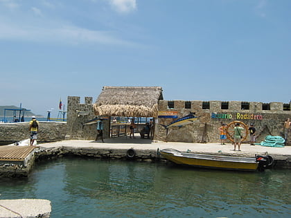
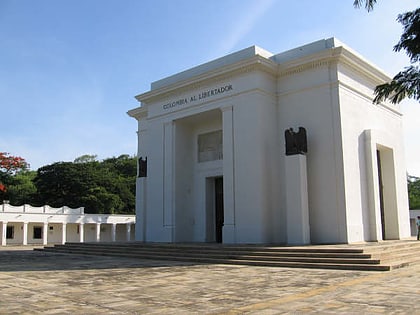
Nearby attractions include: Rodadero Sea Aquarium and Museum, Bahia Concha, Quinta de San Pedro Alejandrino, Taganga.
