Akaiami
Map

Map

Facts and practical information
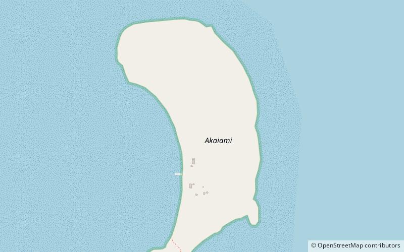
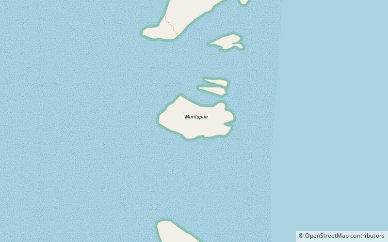
Akaiami is one of 22 islands in the Aitutaki atoll of the Cook Islands. It is located on the eastern perimeter of Aitutaki Lagoon to the north of the smaller islands of Muritapua, five kilometres to the southeast of the main island of Aitutaki. It is the second-largest of the Aitutaki motus, after Tekopua, measuring 1120m long and 410m wide. During the 1950s the island was used as a stopover for TEAL flying boats on the famous Coral Route. These operations ceased in 1960, and the only reminder are the remains of the purpose-built jetty. ()
Coordinates: 18°54'22"S, 159°43'48"W
LocationAdd
ContactAdd
Social media
Add
Day trips
Akaiami – popular in the area (distance from the attraction)
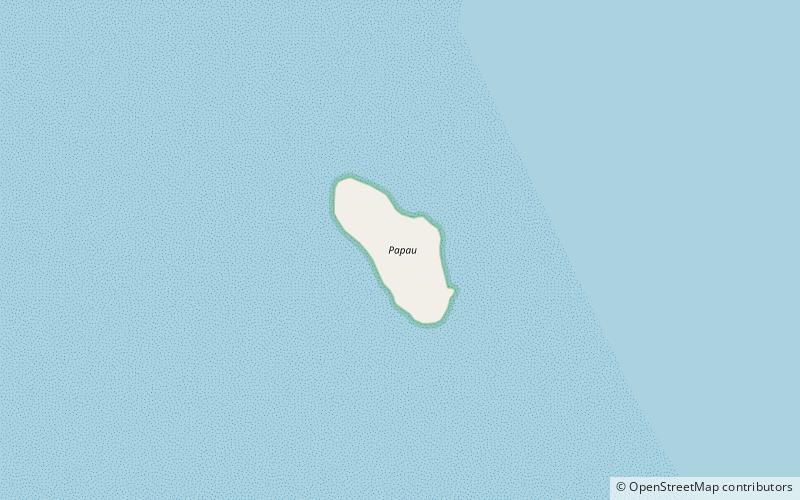
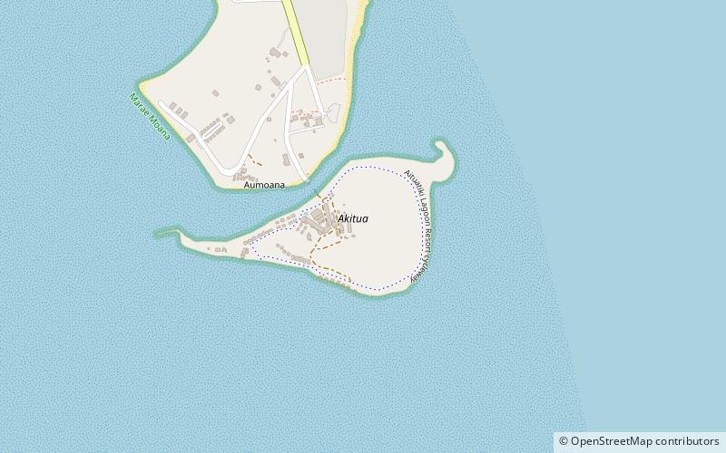
Nearby attractions include: Muritapua, Papau, Tapuaetai, Akitua.


