Papau, Aitutaki

Map
Facts and practical information
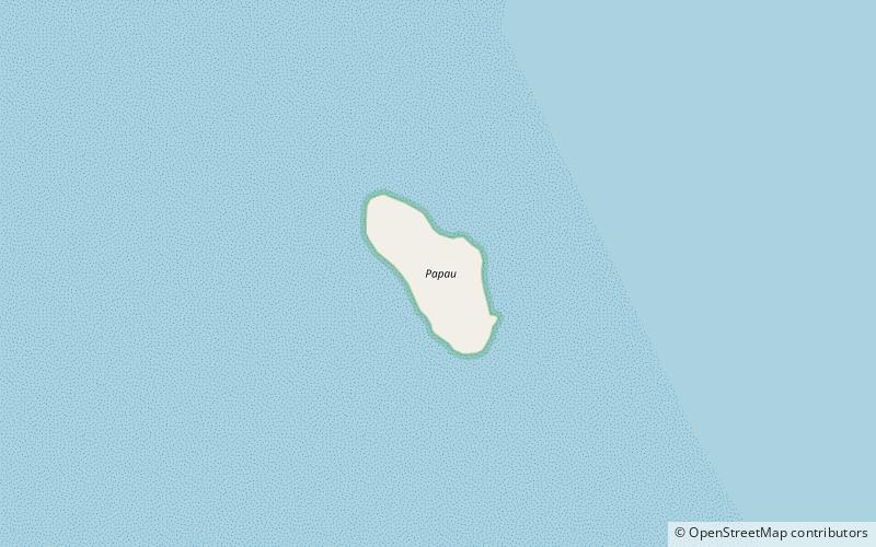
Papau is one of 22 islands in the Aitutaki atoll of the Cook Islands, New Zealand. It is located on the eastern perimeter of Aitutaki Lagoon, four kilometres to the east of the main island of Aitutaki. The island is 400m long and 200m wide. ()
Coordinates: 18°52'57"S, 159°44'59"W
AddressAdd
ContactAdd
Social media
Add
Day trips
Papau – popular in the area (distance from the attraction)
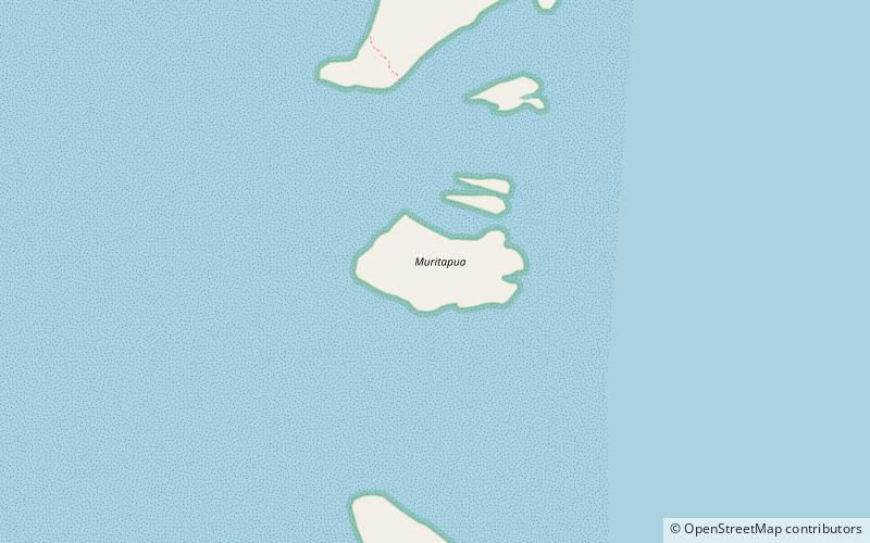
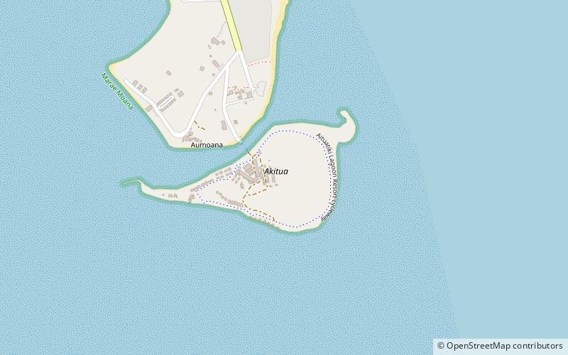
Nearby attractions include: Muritapua, Tapuaetai, Akitua, Akaiami.


