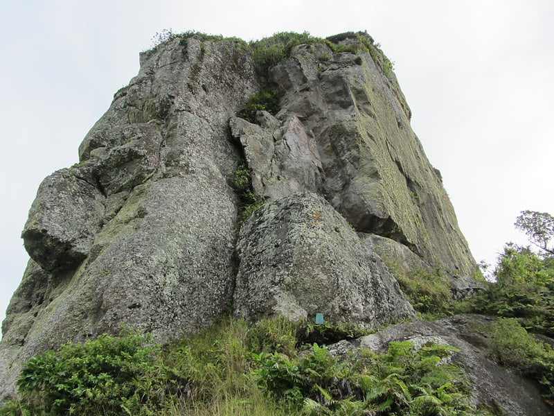
Te Manga, Rarotonga

Gallery (1)
Map
Map
Facts and practical information
Te Manga, on Rarotonga, is the highest point of the Cook Islands, a self-governing parliamentary democracy in free association with New Zealand, with an elevation of 652 meters above sea level. ()
AddressAdd
ContactAdd
Social media
Add
Day trips


Frequently Asked Questions (FAQ)
Which popular attractions are close to Te Manga?
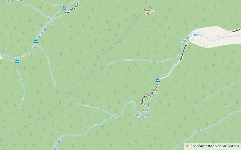
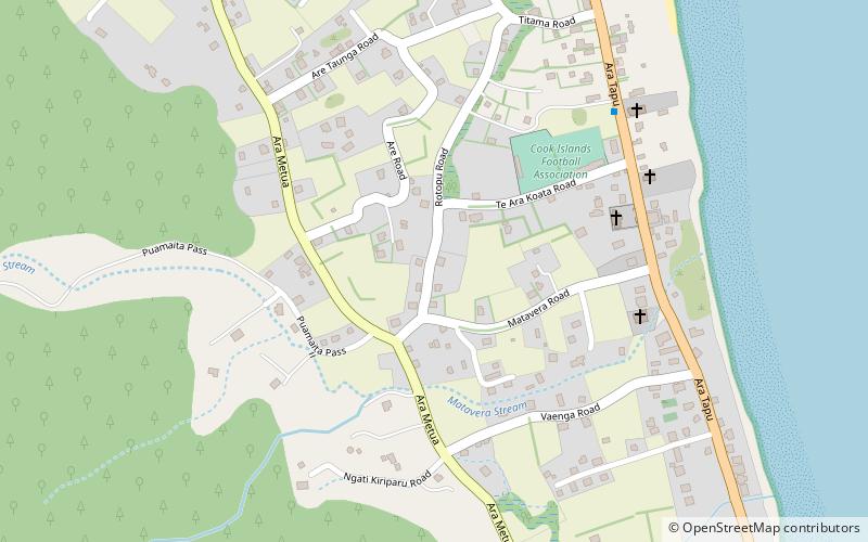
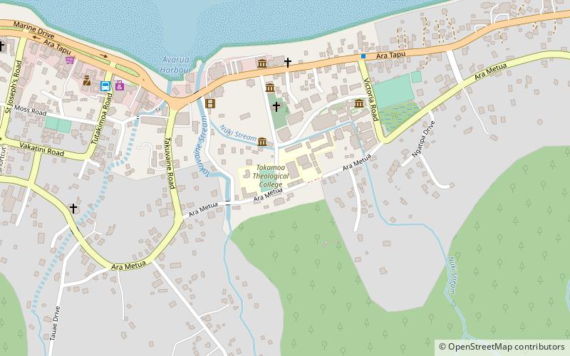
Nearby attractions include Ikurangi, Rarotonga (23 min walk), Matavera, Rarotonga (23 min walk).