Ikurangi, Rarotonga
Map
Map

Facts and practical information
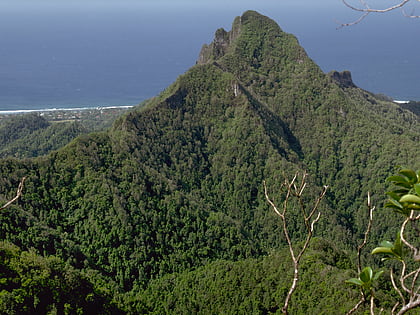
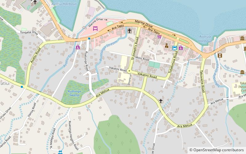
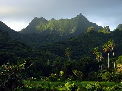
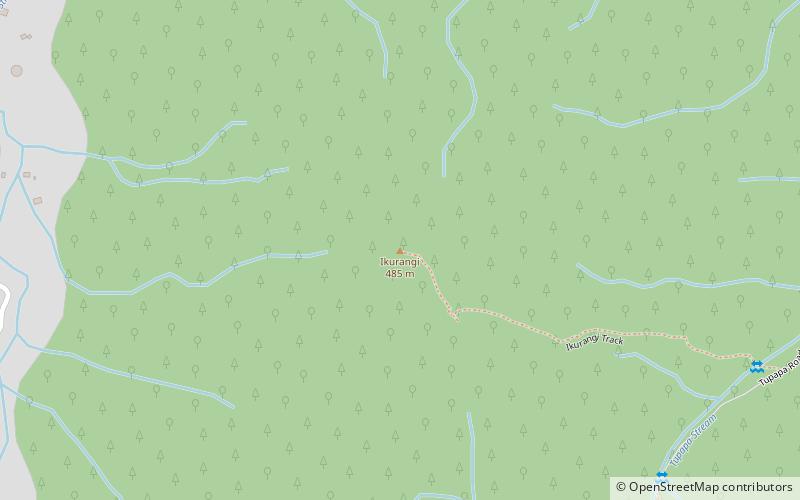
Ikurangi is one of the four major peaks of Rarotonga in the Cook Islands. It has an elevation of 485 metres above sea level and overlooks the capital Avarua and the village of Matavera. The peak is climbable by a hiking trail. Its name is derived from a mountain in Tahiti and in turn is remembered by Mount Hikurangi in New Zealand. ()
Coordinates: 21°13'17"S, 159°45'46"W
AddressAdd
ContactAdd
Social media
Add
Day trips
Ikurangi – popular in the area (distance from the attraction)
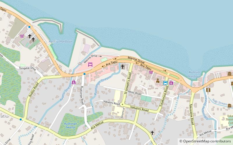
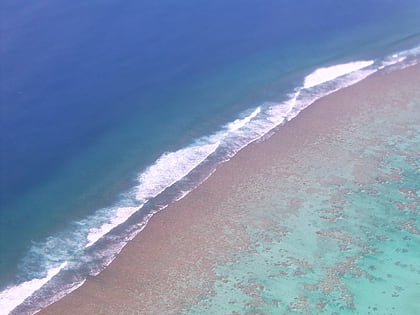
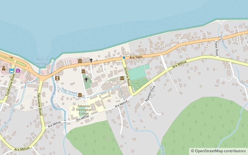
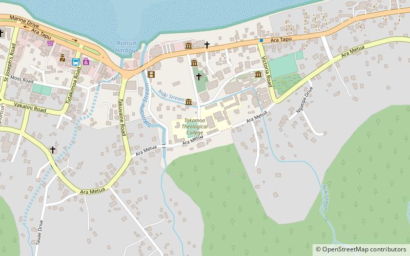
Nearby attractions include: St. Joseph's Cathedral, Marae Moana, National Library of the Cook Islands, Nukutere College.
Frequently Asked Questions (FAQ)
Which popular attractions are close to Ikurangi?
Nearby attractions include Marae Moana, Rarotonga (22 min walk), Te Manga, Rarotonga (23 min walk).
