Tenja concentration camp
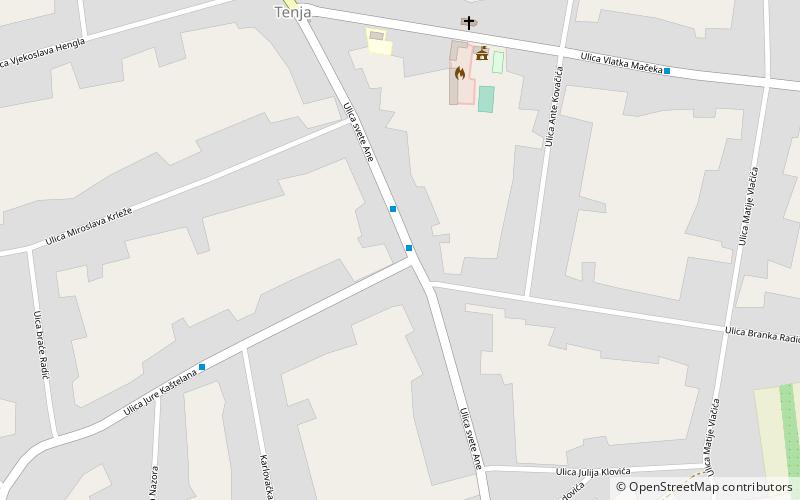
Map
Map

Facts and practical information
The Tenja concentration camp was one of 26 concentration camps established in the Independent State of Croatia during World War II. It was located close to village of Tenja near Osijek and operated by Ustaše. ()
Coordinates: 45°29'53"N, 18°44'49"E
Location
Osjecko-Baranjska
ContactAdd
Social media
Add
Day trips
Tenja concentration camp – popular in the area (distance from the attraction)
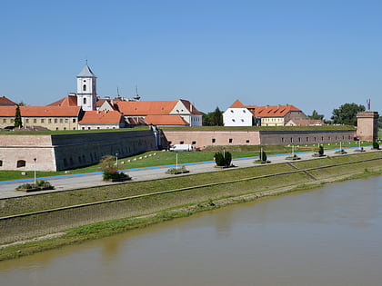
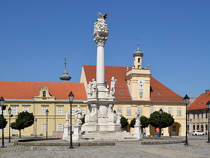
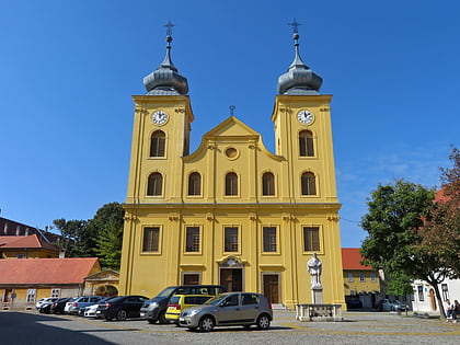
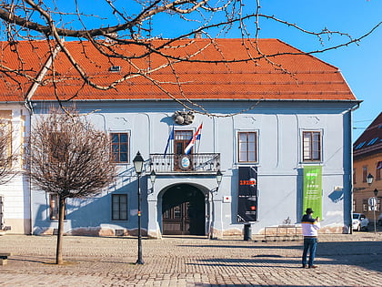
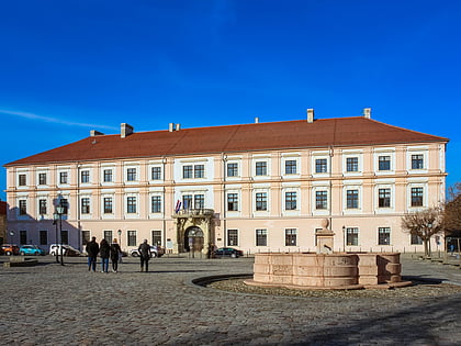
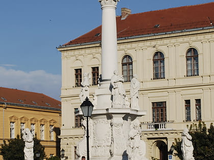
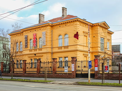
Nearby attractions include: Tvrđa, Osijek Archaeological Museum, Gradski bazeni, Church of Saint Michael.

