Acueducto de Albear, Havana
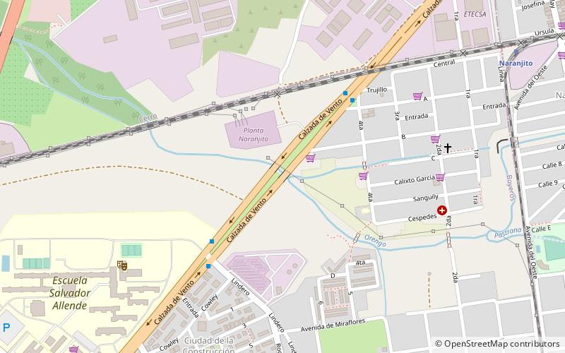
Map
Facts and practical information
Address
CerroHavana
ContactAdd
Social media
Add
Getting there by public transportation
Public transportation stops near this location
- Bus
- Train
 Bus
Bus
- Calculate routeCiudad de la Construcción P16 6 min walk
- Calculate routeBoyeros y Camaguey 15 min walk
- Calculate routeVento y Camaguey 87, 114, 170, CF114 16 min walk
- Calculate routeNaranjito 13 min walk
- Calculate routeMiraflores 16 min walk
- Calculate routeAlmendares 21 min walk
- Calculate routeLos Pinos 27 min walk
Day trips


Frequently Asked Questions (FAQ)
How to get to Acueducto de Albear by public transport?
The nearest stations to Acueducto de Albear:
Bus
Train
Bus
- Ciudad de la Construcción P16 • Lines: A14 (6 min walk)
- Boyeros y Camaguey • Lines: A70 (15 min walk)
Train
- Naranjito (13 min walk)
- Miraflores (16 min walk)