Dolní Dunajovice
#743 among destinations in Czech Republic


Facts and practical information
Dolní Dunajovice is a municipality and village in Břeclav District in the South Moravian Region of the Czech Republic. It has about 1,700 inhabitants. ()
Dolní Dunajovice plan & book
Unleash the traveler in you — discover the cheapest flight deals, find the perfect hotel or hostel nearby, and search for the best car rental prices. Travel at your own pace to discover new places and enjoy your journey.
Dolní Dunajovice – popular in the area (distance from the attraction)
Nearby attractions include: Zámek Mikulov, Dolní Věstonice, Děvín, Nové Mlýny reservoirs.
 Museum, Specialty museum, Forts and castles
Zámek Mikulov, Mikulov
98 min walk • Nestled in the heart of the charming city of Mikulov in the Czech Republic, Zámek Mikulov stands as a pinnacle of cultural heritage and historical grandeur. This majestic castle, now serving as a museum, offers a journey through time for visitors keen on exploring the...
 Prehistoric site
Dolní Věstonice, Pálava Protected Landscape Area
87 min walk • Dolní Věstonice is an Upper Paleolithic archaeological site near the village of Dolní Věstonice in the South Moravian Region of the Czech Republic, on the base of Děvín Mountain 550 metres. It dates to approximately 26,000 BP, as supported by radiocarbon dating.
 Nature, Natural attraction, Mountain
Děvín, Pálava Protected Landscape Area
72 min walk • Děvín is a double peak mountain in the Pavlov municipality in the South Moravian Region of the Czech Republic. With an elevation of 550 metres, it is the highest mountain of the Pavlov Hills within the Mikulov Highlands, and of the Pálava Protected Landscape Area.
 Nature, Natural attraction, Lake
Nové Mlýny reservoirs
82 min walk • The Nové Mlýny reservoirs are three reservoirs behind the Nové Mlýny Dam on the Thaya River in the Czech Republic. The lower reservoir, 1,668 ha in area, is the Novomlýnská Reservoir, the middle reservoir, 1,031 ha, is the Věstonice Reservoir and the upper reservoir, 528 ha, is the Mušovská Reservoir.
 Village, Archaeological site
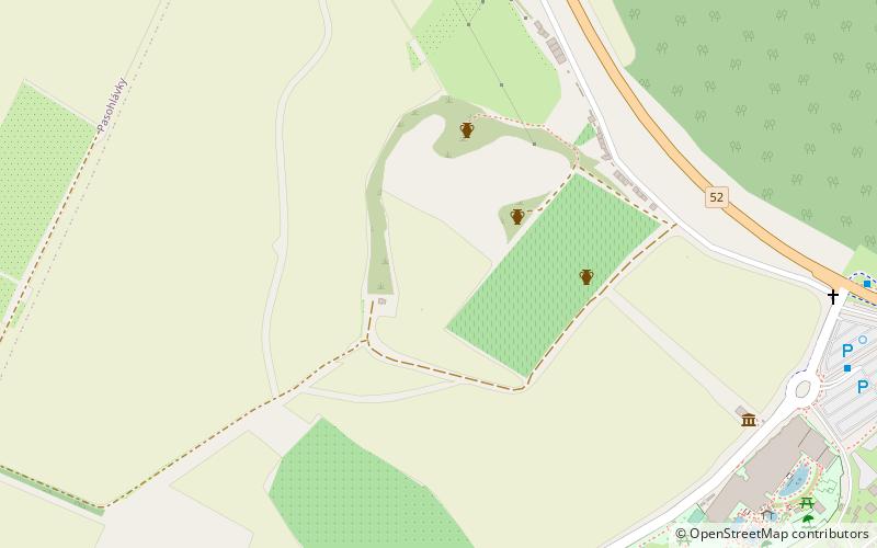
Mušov
73 min walk • Mušov is a cadastral area and a defunct village belonging to the village of Pasohlávky, South Moravia, Czech Republic. It covers an area of 1420.6 ha.
 Memorial
Dietrichstein tomb, Mikulov
101 min walk • The Dietrichstein tomb is a tomb of the Dietrichstein family, located in Mikulov, South Moravia. It is protected as a cultural monument of the Czech Republic. The structure was built as a copy of the Holy House of Loreto, and later the Church of St. Anne was added to the chapel.
 Forts and castles
Děvičky, Pavlov
90 min walk • Děvičky is a ruin of a Gothic castle dominating the northern edge of the Děvín massif ridge, the highest peak of the Pavlov Hills in South Moravia. It is located on a limestone rock rising to an altitude of 428 metres.
 48°52'39"N • 16°40'30"E
Archeopark Pavlov, Pavlov
104 min walk • Specialty museum, History museum, Museum
 Archaeological site
Roman fort
95 min walk • The Roman fort is an archaeological site located in Mušov, Czech Republic, of a Roman army camp on the Dyje-Svratka-Jihlava confluence. It was intended to become the capital of the proposed Marcomannia province.
 Nature, Natural attraction, Natural feature
Mikulov Highlands, Pálava Protected Landscape Area
61 min walk • The Mikulov Highlands is a mountain range in the South Moravian Region of the Czech Republic. The Highlands, together with the Waschberg Zone and Lower Austria Inselberg threshold, form the South-Moravian Carpathians.
 Park
ParkNPR Tabulová, Klentnice
55 min walk • Tabulová, Růžový vrch and Kočičí kámen is a cancelled national nature reserve No. 377 near the villages of Bavory and Klentnice in the district of Breclav. The area is managed by the Pálava Protected Landscape Area Administration.


