Perštejn

Gallery (1)
Map
Map
Facts and practical information
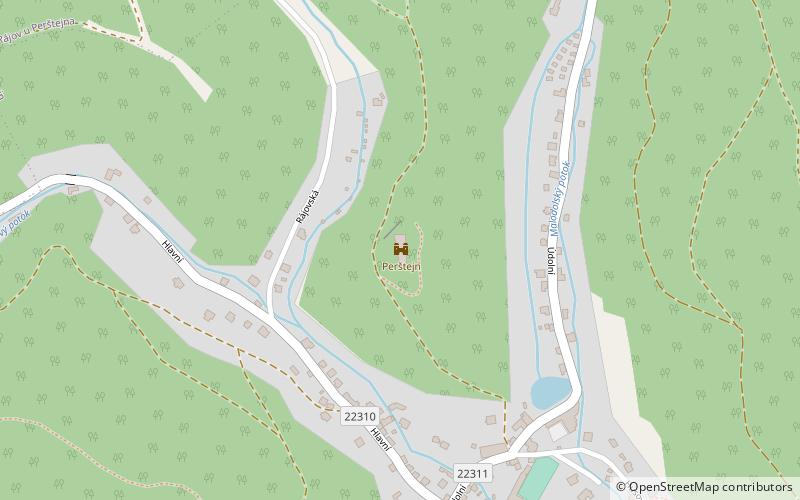
Perštejn is a ruin of a castle on a steep rock spur above the village of the same name about three kilometres west of the town of Klášterec nad Ohří in the Chomutov district. It has been protected as a cultural monument since 1963. Extensive remains of the walls have been preserved.
Alternative names: Population: 1 thous.Architectural style: GothicCoordinates: 50°23'10"N, 13°6'27"E
Location
Ústecký
ContactAdd
Social media
Add
Day trips


