Iron Mountains
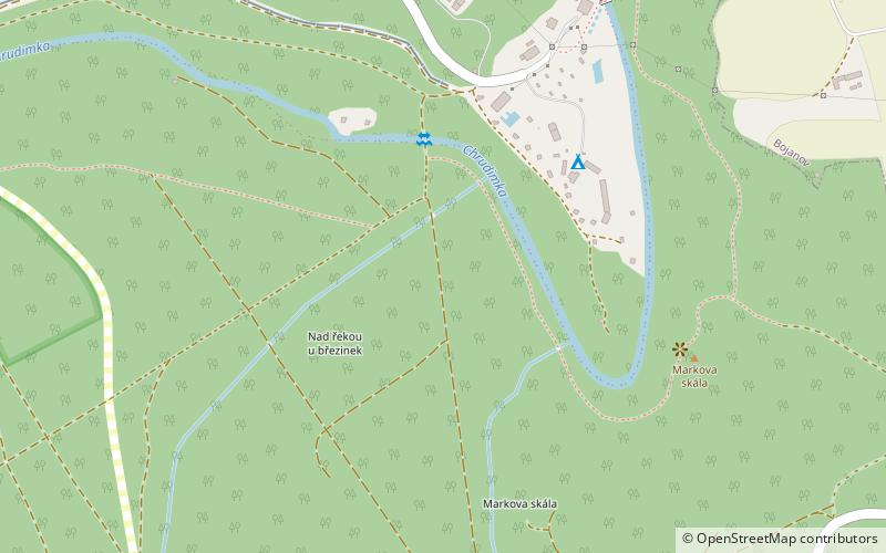
Map

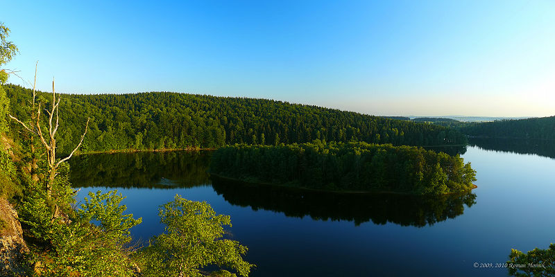
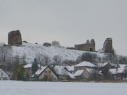
Gallery

Facts and practical information
The Iron Mountains is a mountain range in the Czech Republic, which is a part of the Bohemian-Moravian Highlands. Their location is in the North of the Bohemian-Moravian Highlands. They have an area of 748 km², their average height is 480,8 metres, and their highest peak is Pešava at a height of 697 metres which is located exactly in the Sečská Upland, which is part of the Iron Mountains. But other sources state that the highest peak is Vestec, at a height of 668 metres. ()
Local name: Železné hory Area: 223.94 mi²Maximum elevation: 2287 ftCoordinates: 49°49'60"N, 15°40'0"E
Location
Pardubický
ContactAdd
Social media
Add
Day trips
Iron Mountains – popular in the area (distance from the attraction)
Nearby attractions include: Lichnice, Seč Dam, Rabštejnek Castle, Lípa v Lipce.


