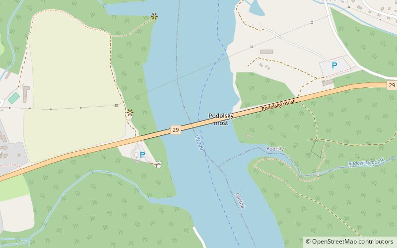
Podolsko Bridge
Map

Map

Facts and practical information
The Podolsko Bridge is an arch bridge that spans the Vltava between Podolsko and Temešvár in Písek District, Czech Republic. At the time of its completion in 1942, it was the longest arch bridge in Czechoslovakia. In May 1945 during World War II, elements of the U.S. 4th Armored Division took over the western end of the bridge and near by village of Temesvar, marking the farthest point the Western Allied Powers moved East on the Western Front. ()
Local name: Podolský most Opened: 1942 (84 years ago)Length: 1673 ftWidth: 28 ftCoordinates: 49°21'26"N, 14°16'22"E
Location
Jihočeský
ContactAdd
Social media
Add
Day trips
Podolsko Bridge – popular in the area (distance from the attraction)
Nearby attractions include: Church of the Nativity of the Blessed Virgin Mary, Synagoga, Městká knihovna Písek.


