Loučná


Facts and practical information
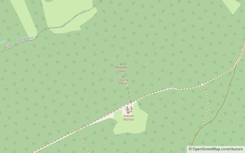
Loučná is a mountain in the Ore Mountains, in the cadastral area of Loučná u Lomu. It is the highest peak in the eastern Erzgebirge and the highest point in the Most district. The peak of Loučná is located about 5.5 km as the crow flies north of the town of Litvínov and 3.5 km south of the Flájská dam.
The steepest slopes are on the southern and southeastern part of the mountain. To the north of Loučná is the V Obora hill, to the west is Studenec, to the south is Střelná above Meziboří and to the east is Vlčí hora with a lookout tower.
The top of Loučná forms a relative plateau. The mountain is covered with birch and beech trees, but the spruce forest, which was destroyed by immissions in the 1980s, is slowly being restored.
There are two granite cliffs on the summit plateau. Two wooden crosses have been erected on top of the lower southern rock. At the end of the 1990s, a turn off from the blue marked hiking trail from Litvínov via Meziboří to Dlouhá Louka was marked to the top of Loučná. The trail ends at this southern rock formation.
To the north lies another rock, which is the main peak of Loučná. The peak is located in the area of the Flájská obora. On the top of the rock there is a triangulation point with a wooden triangulation tower that has already collapsed. Between the peak and the fence of the preserve stands a new radio mast and an iron observation tower, which was used by the Czechoslovak army in the 1950s. Other remnants of army buildings such as building foundations and a panel road are visible in the surrounding area.
The top of Loučná became the goal of the cycling and running race Loučná 956, which was organized in 2000-2012.
Ústecký
Loučná – popular in the area (distance from the attraction)
Nearby attractions include: Bouřňák, Ivan Hlinka Stadion, Zámek, Zámeček Lichtenvald.


