Výrovka, Krkonoše National Park
Map
Map

Facts and practical information
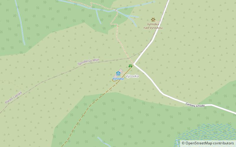
Výrovka is a mountain hut in the Giant Mountains in the saddle between Luční hora and Zadní Planina, 2.5 km southwest of Luční bouda at an altitude of 1363 m. It is an important crossroads of hiking trails from Špindlerův Mlýn to Pec pod Sněžkou, from Luční bouda to Liščí hora or to Vrchlabí. It belongs to Pec pod Sněžkou, description number 204. The chalet is open all year round.
Coordinates: 50°42'55"N, 15°40'49"E
Day trips
Výrovka – popular in the area (distance from the attraction)
Nearby attractions include: Polish–Czech Friendship Trail, Wielki Szyszak, Smogornia, Mały Szyszak.
Frequently Asked Questions (FAQ)
Which popular attractions are close to Výrovka?
Nearby attractions include Luční hora, Krkonoše National Park (23 min walk), Dvorska bouda, Krkonoše National Park (24 min walk).


