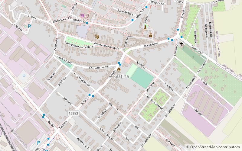
Brno-Slatina, Brno
Map

Map

Facts and practical information
Slatina is a city borough of Brno, the second largest city in the Czech Republic. It is located in the eastern part of the city and is somewhat separated from other parts. Slatina became a part of Brno in 1919 and as of 2011, it had 9,360 inhabitants. ()
Address
SlatinaBrno
ContactAdd
Social media
Add
Day trips
Brno-Slatina – popular in the area (distance from the attraction)
Nearby attractions include: Vaňkovka Gallery, Stránská skála, Museum of Romani Culture, Žuráň.
Frequently Asked Questions (FAQ)
How to get to Brno-Slatina by public transport?
The nearest stations to Brno-Slatina:
Trolleybus
Train
Tram
Trolleybus
- Přemyslovo náměstí • Lines: 31 (1 min walk)
- Křehlíkova • Lines: 31 (3 min walk)
Train
- Brno-Slatina (13 min walk)
Tram
- Stránská skála, smyčka • Lines: 10 (32 min walk)
- Podstránská • Lines: 10 (33 min walk)


