Buk v Reymannově parku, Jeseník

Gallery (1)
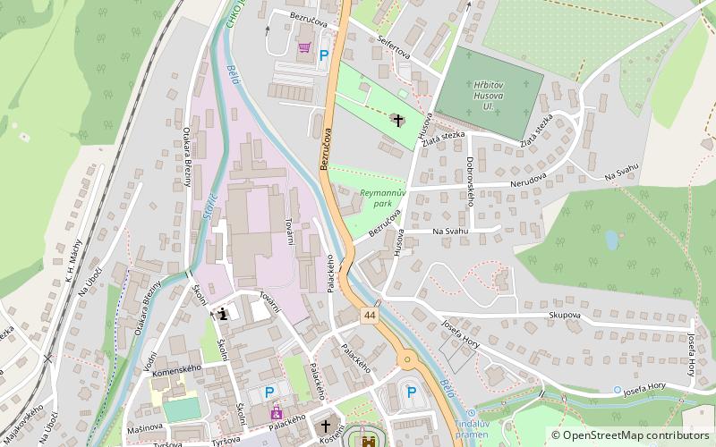
Map
Map
Facts and practical information
Buk v Reymannově parku is a place located in Jeseník (Olomoucký region) and belongs to the category of tree.
It is situated at an altitude of 1430 feet, and its geographical coordinates are 50°13'59"N latitude and 17°12'25"E longitude.
Among other places and attractions worth visiting in the area are: Vodní tvrz (museum, 6 min walk), NPP Na Špičáku (nature, 102 min walk), Kaltenštejn (ruins, 126 min walk).
Coordinates: 50°13'59"N, 17°12'25"E
Address
Jeseník
ContactAdd
Social media
Add
Day trips


