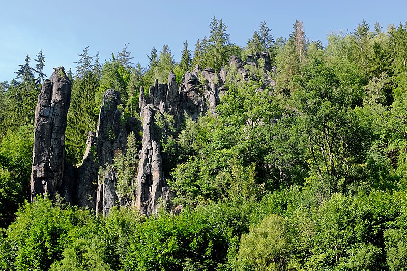
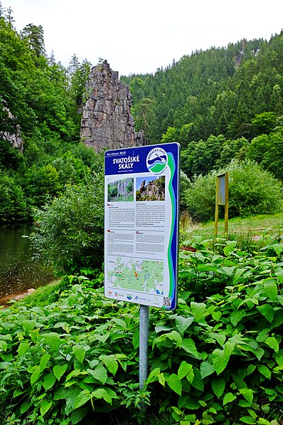
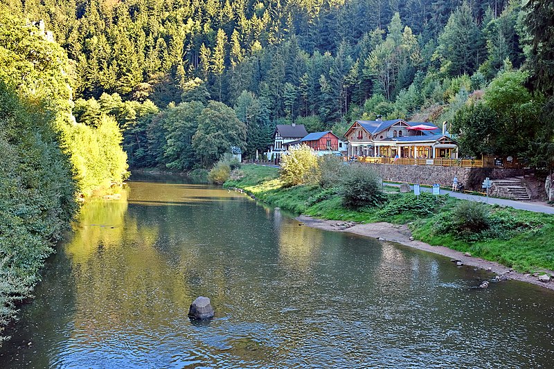
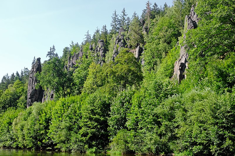
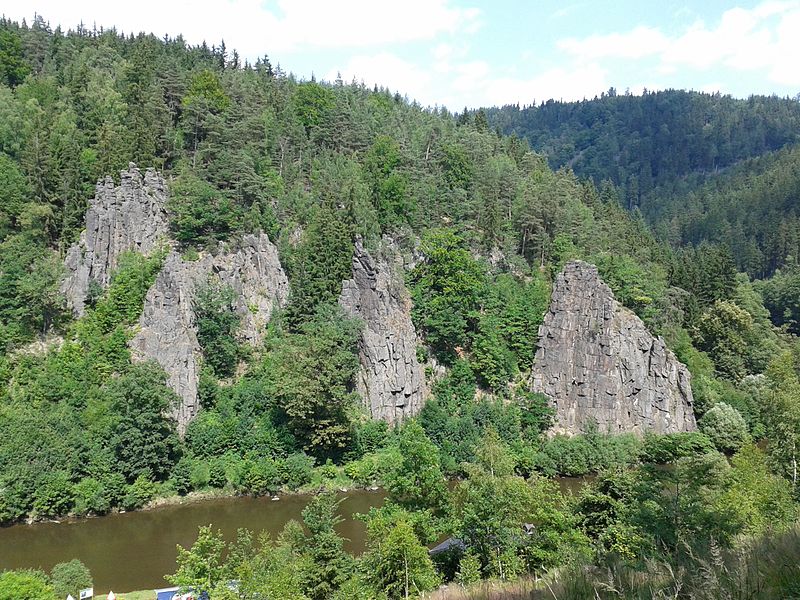
Svatošské skály, Karlovy Vary

Gallery (6)
Map

Map

Gallery
Facts and practical information
Svatošské skály is a place located in Karlovy Vary (Karlovarský region) and belongs to the category of geologic formation, national park, nature and wildlife.
It is situated at an altitude of 1339 feet, and its geographical coordinates are 50°11'36"N latitude and 12°48'53"E longitude.
Planning a visit to this place, one can easily and conveniently get there by public transportation. Svatošské skály is a short distance from the following public transport stations: Karlovy Vary-Březová (train, 30 min walk).
Among other places and attractions worth visiting in the area are: NPP Svatošské skály (park, 1 min walk), Astoria Golf Resort - Cihelny (golf, 41 min walk), City Golf and Racing Club Karlovy Vary (golf, 57 min walk).
Elevation: 1339 ft a.s.l.Coordinates: 50°11'36"N, 12°48'53"E
Getting there by public transportation
Public transportation stops near this location
- Train
 Train
Train
- Calculate routeKarlovy Vary-Březová 30 min walk
- Calculate routeCihelny 39 min walk
Day trips


Frequently Asked Questions (FAQ)
How to get to Svatošské skály by public transport?
The nearest stations to Svatošské skály:
Train
Train
- Karlovy Vary-Březová (30 min walk)
- Cihelny (39 min walk)