Kunratice, Prague
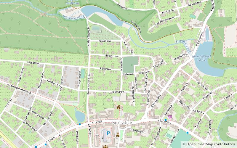
Map

Map

Facts and practical information
Kunratice is a municipal district and cadastral area in Prague. It is located in the southern part of the city. As of 2008, there were 8,089 inhabitants living in Kunratice. ()
Day trips
Kunratice – popular in the area (distance from the attraction)
Nearby attractions include: Centrum Chodov, Galerie Cesty ke světlu, Kunratický les, Chodov.
Frequently Asked Questions (FAQ)
How to get to Kunratice by public transport?
The nearest stations to Kunratice:
Bus
Metro
Bus
- Kunratická škola • Lines: 165, 193, 203, 901 (5 min walk)
- U Tří svatých • Lines: 165, 193, 203, 332, 335, 901 (10 min walk)
Metro
- Chodov • Lines: C (30 min walk)
- Opatov • Lines: C (37 min walk)

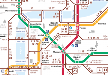
 Metro / Trams


