Loreta
Map

Map

Facts and practical information
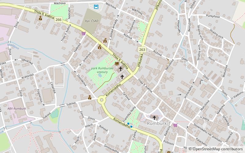
Loreta (address: Trida 9. kvEtna 149/27) is a place located in Czech Republic and belongs to the category of museum, sacred and religious sites.
It is situated at an altitude of 1280 feet, and its geographical coordinates are 50°57'12"N latitude and 14°33'16"E longitude.
Among other places and attractions worth visiting in the area are: Rumburk (town, 2 min walk), Krásný Buk Castle (forts and castles, 98 min walk), Městský stadion v KotliněVarnsdorf (sport, 99 min walk).
Coordinates: 50°57'12"N, 14°33'16"E
Day trips
Loreta – popular in the area (distance from the attraction)
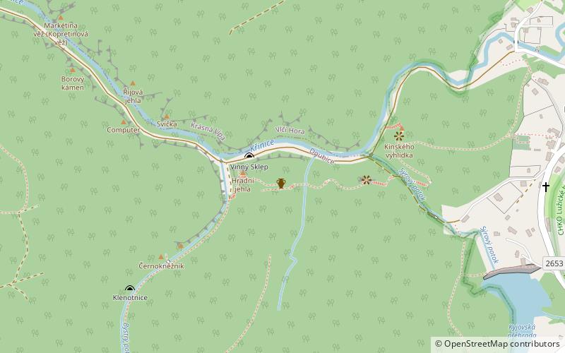
Nearby attractions include: Vlčí hora, Chřibský hrádek, Krásný Buk Castle, Spravedlnost.


