Prague 16, Prague

Gallery (1)
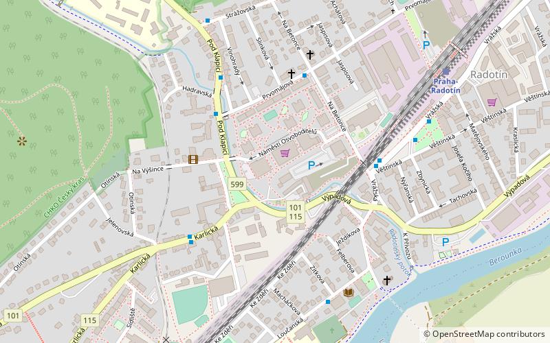
Map
Map
Facts and practical information
Prague 16 is a municipal district in Prague. It is located in the south-western part of the city. It is formed by one cadastre, Radotín. As of 2008, there were 8,201 inhabitants living in Prague 16. ()
Getting there by public transportation
Public transportation stops near this location
- Bus
- Train
 Bus
Bus
- Calculate routePrvomájová 4 min walk
- Calculate routeOtínská 4 min walk
- Calculate routeNádraží Radotín 5 min walk
- Calculate routeŠkola Radotín 5 min walk
- Calculate routePraha-Radotín 7 min walk
Maps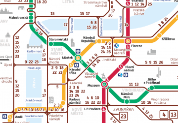 Metro / Trams
Metro / TramsDay trips


Frequently Asked Questions (FAQ)
How to get to Prague 16 by public transport?
The nearest stations to Prague 16:
Bus
Train
Bus
- Prvomájová • Lines: 120, 245, 246, 269, 951 (4 min walk)
- Otínská • Lines: 244, 248, 951 (4 min walk)
Train
- Praha-Radotín (7 min walk)