Hlubočepy, Prague
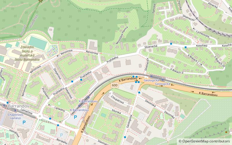
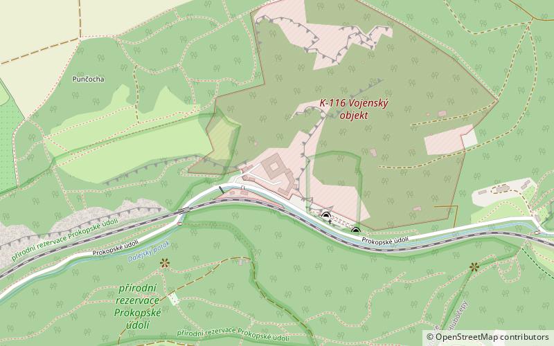
Map

Map

Facts and practical information
Hlubočepy is a cadastral district of Prague, Czech Republic. In 2015 it had 22,466 inhabitants. ()
Address
Praha 5Prague
ContactAdd
Social media
Add
Day trips
Hlubočepy – popular in the area (distance from the attraction)
Nearby attractions include: Barrandov Bridge, Branický most, Hodkovičky, MeetFactory.
Frequently Asked Questions (FAQ)
How to get to Hlubočepy by public transport?
The nearest stations to Hlubočepy:
Bus
Tram
Train
Ferry
Bus
- Geologická • Lines: 105, 170 (2 min walk)
- Dreyerova • Lines: 120, 258 (4 min walk)
Tram
- Geologická • Lines: 12, 20, 4, 5, 94 (4 min walk)
- K Barrandovu • Lines: 12, 20, 4, 5, 94 (4 min walk)
Train
- Praha-Hlubočepy (12 min walk)
- Praha-Žvahov (25 min walk)
Ferry
- Lihovar • Lines: P3 (36 min walk)

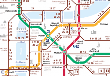
 Metro / Trams


