Letňany, Prague
Map

Map

Facts and practical information
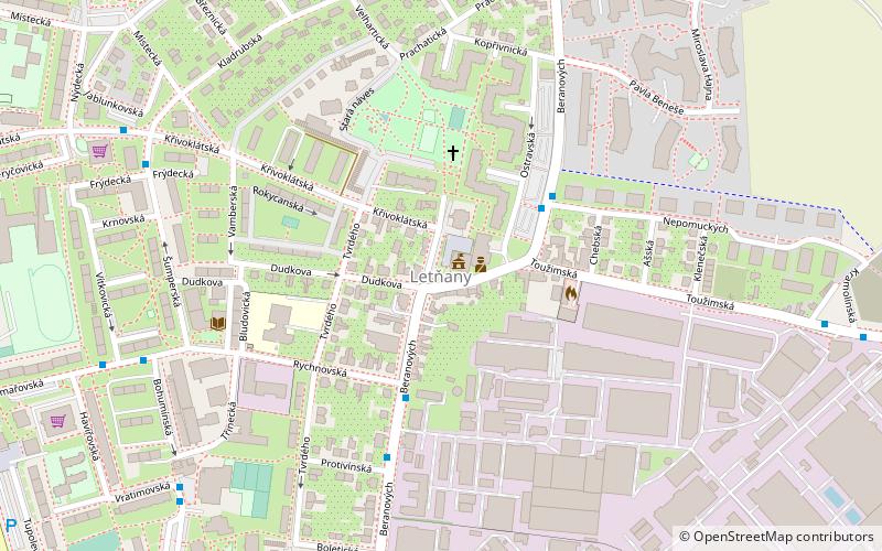
Letňany is an area of Prague, Czech Republic. It was founded in 1307, and became part of Prague in 1968. It has been part of the Prague 9 administrative district since 2001, having previously been in the local government district of Prague 18, and it has its own cadastral area. It has become one of the richest districts in Prague. ()
Address
Praha 18 (Letňany)Prague
ContactAdd
Social media
Add
Day trips
Letňany – popular in the area (distance from the attraction)
Nearby attractions include: Obchodní centrum Letňany, Prague Aviation Museum, Prague 18, Čakovice.
Frequently Asked Questions (FAQ)
How to get to Letňany by public transport?
The nearest stations to Letňany:
Bus
Train
Metro
Bus
- Staré Letňany • Lines: 158, 195, 201 (3 min walk)
- Rychnovská • Lines: 158, 195 (4 min walk)
Train
- Praha-Čakovice (22 min walk)
Metro
- Letňany • Lines: C (22 min walk)
- Střížkov • Lines: C (35 min walk)

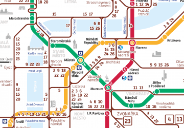
 Metro / Trams


