Hrdlořezy, Prague
Map

Map

Facts and practical information
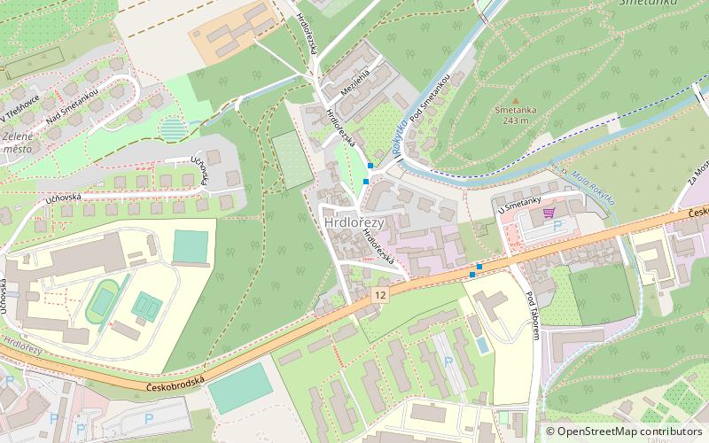
Hrdlořezy is a cadastral district in Prague. It has population of 1,666. It became part of Prague on 1 January 1922. It lies mostly in the municipal and administrative district of Prague 9 while a small part is in Prague 10. The district is bordered by Žižkov, Vysočany, Hloubětín, Kyje and Malešice. ()
Address
Praha 9 (Hrdlořezy)Prague
ContactAdd
Social media
Add
Day trips
Hrdlořezy – popular in the area (distance from the attraction)
Nearby attractions include: O2 Arena, Rezidence Eliška, Vinohrady Cemetery, Evangelical Cemetery.
Frequently Asked Questions (FAQ)
How to get to Hrdlořezy by public transport?
The nearest stations to Hrdlořezy:
Bus
Tram
Train
Metro
Bus
- Hrdlořezská • Lines: 146 (2 min walk)
- Pod Táborem • Lines: 109, 177, 182, 183, 195 (4 min walk)
Tram
- Spojovací • Lines: 1, 11, 9, 98 (12 min walk)
- Kabešova • Lines: 25, 8, 92 (17 min walk)
Train
- Praha-Libeň (16 min walk)
Metro
- Českomoravská • Lines: B (31 min walk)

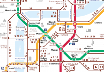
 Metro / Trams


