Hloubětín, Prague
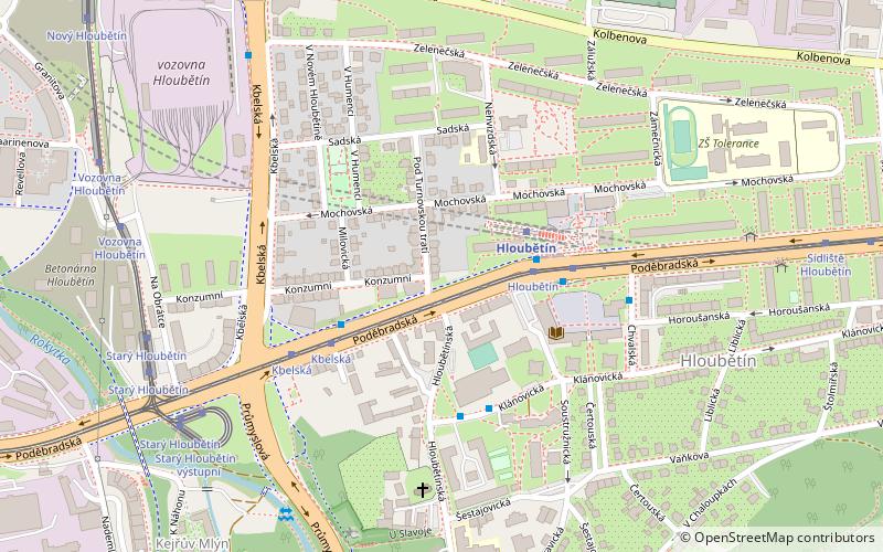
Map

Map

Facts and practical information
Hloubětín is a district of Prague located 9 kilometres from the centre, belonging mostly to Prague 9, with parts of it also belonging to Prague 14 and Prague 10. There were 10,704 people living in this area in 2001. The area, first recorded in the 13th century due to presence of the Teutonic Knights, became part of Prague in 1922. Today it is mainly an industrial area, located on the edge of Prague's so-called průmyslový polookruh. During communist times, Hloubětín was well known as the home of the Tesla company. ()
Address
Praha 14Prague
ContactAdd
Social media
Add
Day trips
Hloubětín – popular in the area (distance from the attraction)
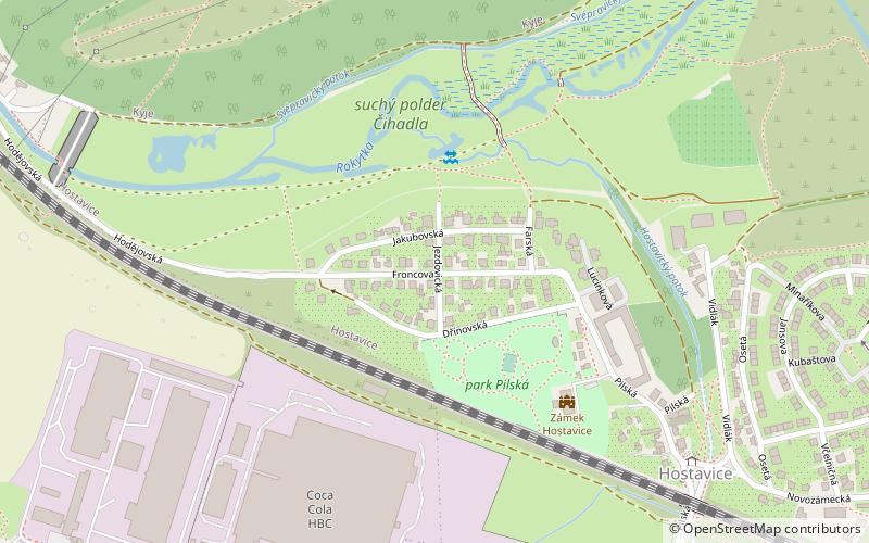
Nearby attractions include: Hrdlořezy, Kyje, Hostavice, Prague 14.
Frequently Asked Questions (FAQ)
Which popular attractions are close to Hloubětín?
Nearby attractions include Prague 14, Prague (21 min walk), Kyje, Prague (22 min walk).
How to get to Hloubětín by public transport?
The nearest stations to Hloubětín:
Metro
Tram
Bus
Train
Metro
- Hloubětín • Lines: B (3 min walk)
- Kolbenova • Lines: B (23 min walk)
Tram
- Hloubětín • Lines: 19, 25, 8, 92, 94 (3 min walk)
- Kbelská • Lines: 19, 25, 8, 92, 94 (4 min walk)
Bus
- Kbelská • Lines: 110 (3 min walk)
- Bazén Hloubětín • Lines: 141, 259 (4 min walk)
Train
- Praha-Kyje (19 min walk)

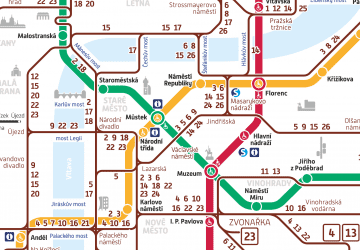
 Metro / Trams


