Prague 14, Prague
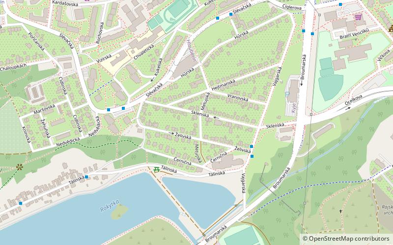
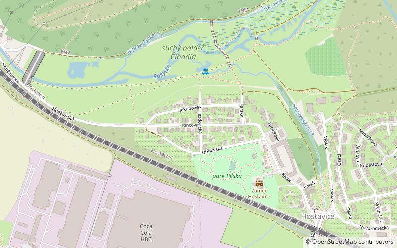
Map

Map

Facts and practical information
Prague 14 is a municipal district in Prague since 1994. It is located in the north-eastern part of the city, east of district Prague 9. It consists of four cadastres: Hloubětín, Kyje, Černý Most and Hostavice. ()
Day trips
Prague 14 – popular in the area (distance from the attraction)
Nearby attractions include: Dolní Počernice, Kyje, Hostavice, Dolní Počernice.
Frequently Asked Questions (FAQ)
Which popular attractions are close to Prague 14?
Nearby attractions include Kyje, Prague (11 min walk), Hostavice, Prague (19 min walk), Hloubětín, Prague (21 min walk).
How to get to Prague 14 by public transport?
The nearest stations to Prague 14:
Bus
Tram
Metro
Train
Bus
- Vajgarská • Lines: 110, 171, 181, 224 (4 min walk)
- Sídliště Lehovec • Lines: 110, 141, 259 (5 min walk)
Tram
- Lehovec - výstupní • Lines: 19, 25, 92, 94 (9 min walk)
- Lehovec • Lines: 19, 25, 8, 92, 94 (10 min walk)
Metro
- Rajská zahrada • Lines: B (12 min walk)
- Hloubětín • Lines: B (19 min walk)
Train
- Praha-Kyje (14 min walk)
- Praha-Dolní Počernice (32 min walk)

 Metro / Trams


