Braník, Prague
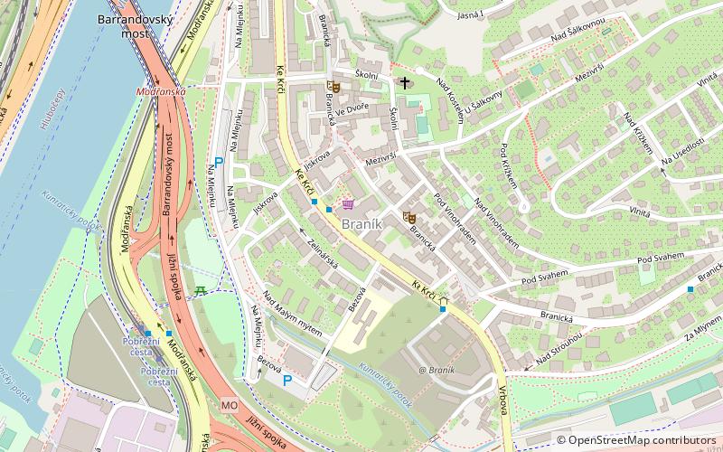
Map

Map

Facts and practical information
Braník is a district in Prague located in the south of the city, on the east bank of the Vltava. It used to be known for its brewery, but the brewery is now out of business as it ceased operations in 2002. Braník borders with Malá Chuchle and Hlubočepy in the west, Podolí in the north, Krč in the east and Lhotka and Hodkovičky in the south. ()
Address
Praha 4Prague
ContactAdd
Social media
Add
Day trips
Braník – popular in the area (distance from the attraction)
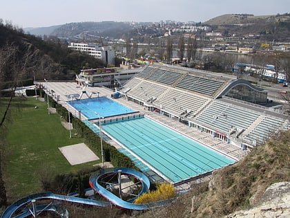
Nearby attractions include: Podolí Swimming Stadium, Barrandov Bridge, Branický most, City Tower.
Frequently Asked Questions (FAQ)
Which popular attractions are close to Braník?
Nearby attractions include Barrandov Bridge, Prague (8 min walk), Branický most, Prague (22 min walk).
How to get to Braník by public transport?
The nearest stations to Braník:
Bus
Tram
Train
Ferry
Bus
- U Staré pošty • Lines: 170, 196, 197, 901 (2 min walk)
- Branické náměstí • Lines: 170, 196, 197, 901 (4 min walk)
Tram
- Pobřežní cesta • Lines: 17, 2, 21, 3, 92 (7 min walk)
- Přístaviště • Lines: 17, 2, 21, 3, 92 (9 min walk)
Train
- Praha-Braník (16 min walk)
- Praha-Žvahov (22 min walk)
Ferry
- Lihovar • Lines: P3 (23 min walk)
- Veslařský ostrov • Lines: P3 (28 min walk)

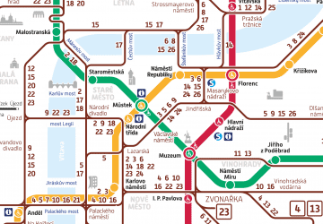
 Metro / Trams


