Prague 21, Úvaly
#2 among attractions in Úvaly


Facts and practical information
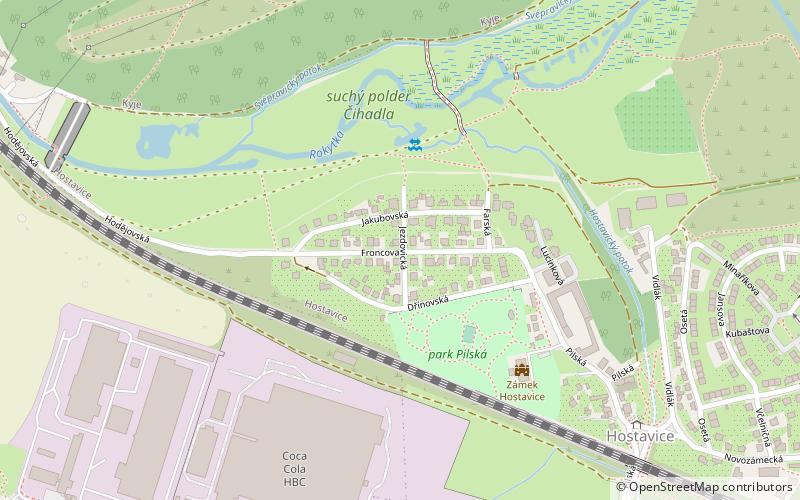
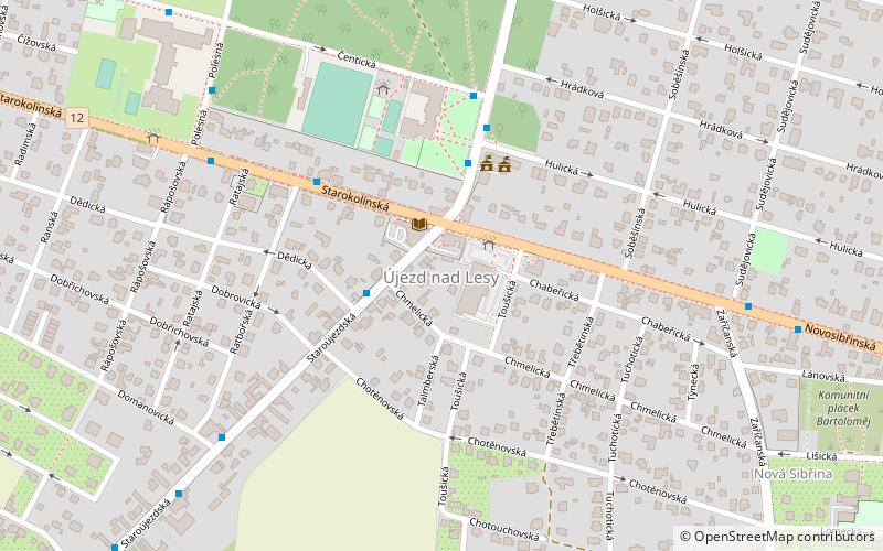
Prague 21, also known as Újezd nad Lesy is municipal district in Prague, Czech Republic. It is located in the eastern part of the city. It has 9,209 inhabitants. ()
Úvaly plan & book
Unleash the traveler in you — discover the cheapest flight deals, find the perfect hotel or hostel nearby, and search for the best car rental prices. Travel at your own pace to discover new places and enjoy your journey.
Prague 21 – popular in the area (distance from the attraction)
Nearby attractions include: Prague-East District, Škvorec Chateau, Black Bridge Golf Resort, Dolní Počernice.
3.2 miEAreaPrague-East District, Prague
81 min walk • Prague-East District is a district within the Central Bohemian Region of the Czech Republic. Its administrative seat is in Prague. The most populated town of the district is Brandýs nad Labem-Stará Boleslav.
3.9 miSEForts and castlesŠkvorec Chateau
99 min walk • Škvorec Chateau is a chateau, formerly a minor castle, located in Škvorec in the Central Bohemian Region of the Czech Republic, about 23 kilometres east of Prague. The chateau, locally also known as the Starý zámek, was indirectly first mentioned in historical sources in 1279, yet fully documented as late as since 1404.
3.5 miNW 3.6 miWForts and castlesDolní Počernice, Prague
93 min walk • Dolní Počernice is an architectural monument located at 1 Národních hrdinů street in Dolní Počernice, near the dike Počernický fishpond and a local English park. It is protected as a cultural monument of Czech Republic. Currently an orphanage is located there.
3.7 miSEForts and castlesŠkvorec
96 min walk • Škvorec is a market town in Prague-East District in the Central Bohemian Region of the Czech Republic. It has about 2,000 inhabitants.
1.5 miNNeighbourhoodKlánovice, Úvaly
38 min walk • Klánovice is a municipal district and cadastral area in Prague, Czech Republic. Originally a village, later municipality, it became district of Prague in 1974. It is located at the eastern limit of the city.
5.1 miWNeighbourhoodKyje, Prague
132 min walk • Kyje is a cadastral district of Prague, Czech Republic. In 2015 it had 9,036 inhabitants. The German name of Kyje is Keeg.
4.6 miWNeighbourhoodHostavice, Prague
118 min walk • Hostavice became part of Prague in 1968. Now it is part of the district of Prague 9 and its own cadastral area. The area is 1,98 km², the population is 2 707 and the population density is 1 367 inhabitants / km².
3.8 miWNeighbourhoodDolní Počernice, Prague
97 min walk • Dolní Počernice is a municipal district and cadastral area in Prague. It is located in the eastern part of the city. As of 2008, there were 2,190 inhabitants living in Dolní Počernice.
5.1 miWNeighbourhoodPrague 14, Prague
130 min walk • Prague 14 is a municipal district in Prague since 1994. It is located in the north-eastern part of the city, east of district Prague 9. It consists of four cadastres: Hloubětín, Kyje, Černý Most and Hostavice. The administrative district of the same name consists of municipal districts Prague 14 and Dolní Počernice.
5 miSWNeighbourhoodPrague 15, Prague
127 min walk • Prague 15 is a municipal district in Prague, Czech Republic. It is located in the south eastern part. The administrative district of the same name comprises municipal districts Prague 15, Horní Měcholupy, Dolní Měcholupy, Dubeč, Petrovice and Štěrboholy.