Rønde Municipality, Rønde
Map
Facts and practical information
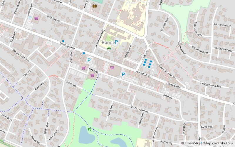
Until January 1, 2007 Rønde municipality was a municipality in the former Aarhus County on the east coast of the Jutland peninsula in central Denmark. The municipality covered an area of 101 km2, and had a total population of 7,111. Its last mayor was Vilfred Friborg Hansen, a member of the Social Democrats political party. The main town and the site of its municipal council was the town of Rønde. ()
Address
Rønde
ContactAdd
Social media
Add
Day trips


