Egens Kirke, Rønde

Gallery (1)
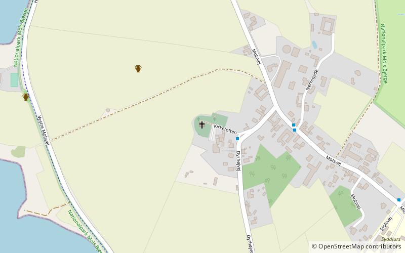
Map
Map
Facts and practical information
Egens Church is located on a high hill at the bottom of Kaløvig overlooking Kalø Castle ruin. The church has a simple design with a longhouse, a steeple in the west and a porch in the north.
The Romanesque baptismal font of granite has two heads in high relief. The altarpiece was painted by Johan Thomas Skovgaard in 1928.
Coordinates: 56°16'10"N, 10°30'44"E
Address
Rønde
ContactAdd
Social media
Add
Day trips


