Parks and open spaces in Copenhagen, Copenhagen
Map

Gallery

Facts and practical information
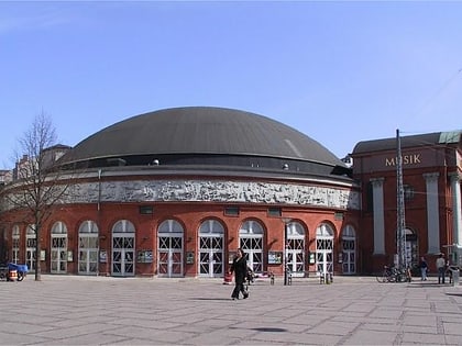
Copenhagen is a green city well endowed with open spaces. It has an extensive and well-distributed system of parks that act as venues for a wide array of events and urban life. As a supplement to the regular parks, there are a number of congenial public gardens and some cemeteries doubling as parks. It is official municipal policy in Copenhagen that all citizens by 2015 must be able to reach a park or beach on foot in less than 15 minutes. ()
Local name: Parker i KøbenhavnElevation: 26 ft a.s.l.Coordinates: 55°40'52"N, 12°33'59"E
Address
Indre By (Ørsteds)Copenhagen
ContactAdd
Social media
Add
Day trips
Parks and open spaces in Copenhagen – popular in the area (distance from the attraction)
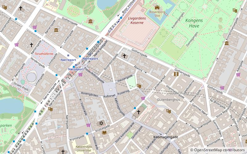
Nearby attractions include: Strøget, Cirkusbygningen, Klosteret, Palads Biograf.
Frequently Asked Questions (FAQ)
Which popular attractions are close to Parks and open spaces in Copenhagen?
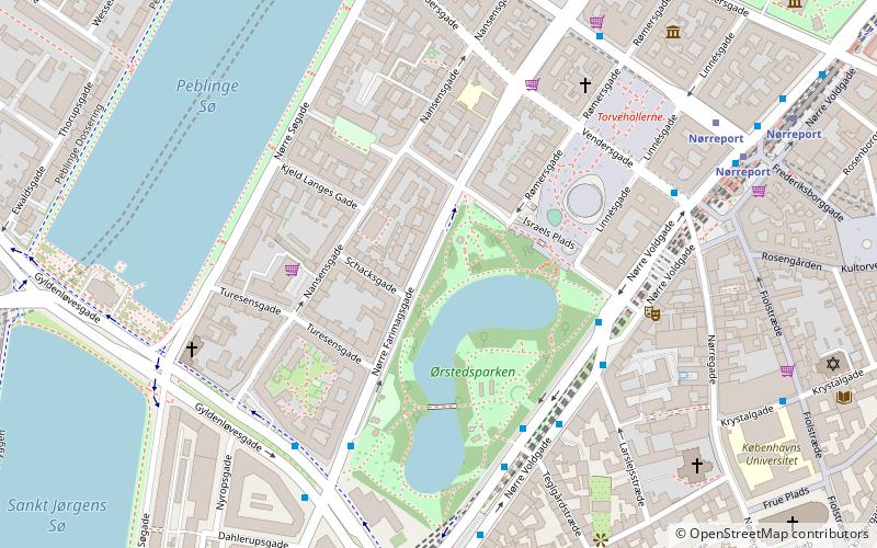
Nearby attractions include Ørstedsparken, Copenhagen (2 min walk), Statue of Anders Sandøe Ørsted, Copenhagen (2 min walk), Larslejsstræde, Copenhagen (4 min walk), Israels Plads, Copenhagen (4 min walk).
How to get to Parks and open spaces in Copenhagen by public transport?
The nearest stations to Parks and open spaces in Copenhagen:
Bus
Light rail
Metro
Train
Ferry
Bus
- Teglgårdstræde • Lines: 5C (2 min walk)
- Vester Farimagsgade • Lines: 2A (4 min walk)
Light rail
- Nørreport • Lines: A, B, Bx, C, E, H (7 min walk)
- Vesterport • Lines: A, B, Bx, C, E, H (10 min walk)
Metro
- Nørreport • Lines: M1, M2 (7 min walk)
- Rådhuspladsen • Lines: M3, M4 (9 min walk)
Train
- Nørreport (9 min walk)
- Copenhagen Central Station (16 min walk)
Ferry
- Det Kongelige Bibliotek • Lines: 991, 992 (22 min walk)
- Knippelsbro • Lines: 991, 992 (24 min walk)

 Metro
Metro


