Klosteret, Copenhagen
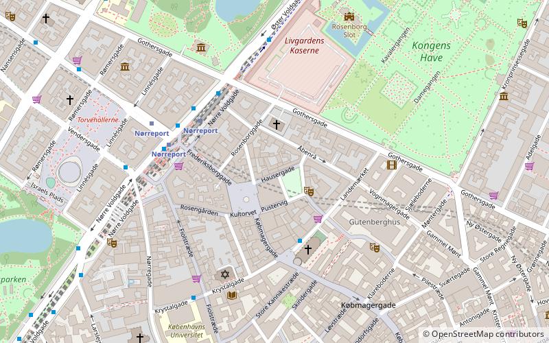
Map
Facts and practical information
Klosteret is a nightclub located at Hauser Plads 32 in Copenhagen, Denmark. With an area of circa 2000 square meters, it is the largest night club in Denmark. Klosteret was opened as a night club in February 2015 by the members of the pop group Infernal, Lina Rafn and Paw Lagermann. Infernal owned more than half the place. In the beginning of 2016, the place switched owners and is now called SGK by Fabio Klosteret 2.0. ()
Coordinates: 55°40'59"N, 12°34'30"E
Address
Indre By (Reformert)Copenhagen
ContactAdd
Social media
Add
Getting there by public transportation
Public transportation stops near this location
- Metro
- Bus
- Light rail
- Train
- Ferry
 Metro
Metro
- Calculate routeNørreport 3 min walk
- Calculate routeCopenhagen Central Station 21 min walk
- Calculate routeØsterport 23 min walk
- Calculate routeNørreport 4 min walk
- Calculate routeVesterport 18 min walk
- Calculate routeØsterport 21 min walk
- Calculate routeCopenhagen Central Station 22 min walk
- Calculate routeNørreport St. 4 min walk
- Calculate routeNørreport Station 4 min walk
- Calculate routeGothersgade 8 min walk
- Calculate routeNørre Farimagsgade 8 min walk
- Calculate routeNørreport 5 min walk
- Calculate routeGammel Strand 11 min walk
- Calculate routeKongens Nytorv 12 min walk
- Calculate routeRådhuspladsen 14 min walk
- Calculate routeKnippelsbro 20 min walk
- Calculate routeDet Kongelige Bibliotek 20 min walk
- Calculate routeNyhavn 21 min walk
- Calculate routeOperaen 24 min walk
Maps Metro
Metro
MetroDay trips


Frequently Asked Questions (FAQ)
Which popular attractions are close to Klosteret?
Nearby attractions include Hauser Plads, Copenhagen (1 min walk), Café Teatret, Copenhagen (2 min walk), Kultorvet, Copenhagen (2 min walk), Rosenborggade, Copenhagen (2 min walk).
How to get to Klosteret by public transport?
The nearest stations to Klosteret:
Train
Light rail
Bus
Metro
Ferry
Train
- Nørreport (3 min walk)
- Copenhagen Central Station (21 min walk)
Light rail
- Nørreport • Lines: A, B, Bx, C, E, H (4 min walk)
- Vesterport • Lines: A, B, Bx, C, E, H (18 min walk)
Bus
- Nørreport St. • Lines: 14, 150S, 15E, 184, 185, 350S, 5C, 6A (4 min walk)
- Nørreport Station • Lines: 5C (4 min walk)
Metro
- Nørreport • Lines: M1, M2 (5 min walk)
- Gammel Strand • Lines: M3, M4 (11 min walk)
Ferry
- Knippelsbro • Lines: 991, 992 (20 min walk)
- Det Kongelige Bibliotek • Lines: 991, 992 (20 min walk)