Christiansfeld Municipality, Christiansfeld

Gallery (1)
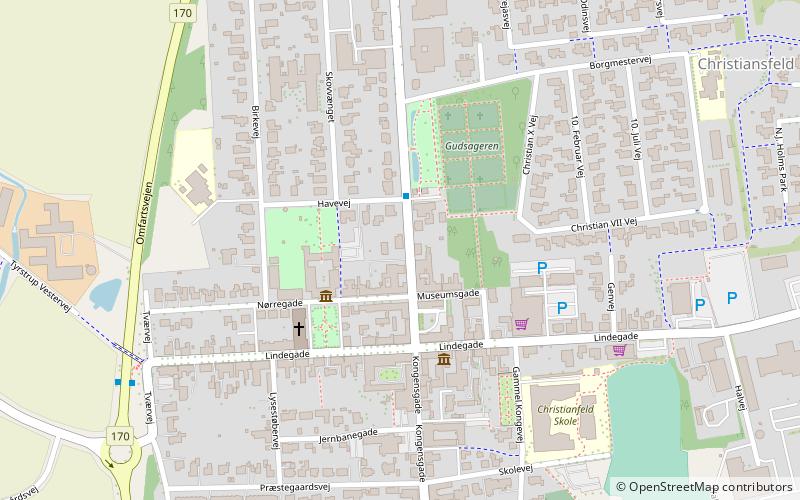
Map
Map
Facts and practical information
Christiansfeld Municipality existed until January 1, 2007, in South Jutland County. It was named after Christiansfeld. The municipality covered an area of 211 km2, and had a total population of 9,585. Its last mayor was Jørgen From, a member of the Venstre political party. The municipality was created in 1970 as the result of a kommunalreform that combined the following parishes: ()
Address
Christiansfeld
ContactAdd
Social media
Add
Day trips


Frequently Asked Questions (FAQ)
Which popular attractions are close to Christiansfeld Municipality?
Nearby attractions include Brødremenighedens Kirke, Christiansfeld (3 min walk), Tyrstrup Kirke, Christiansfeld (8 min walk).