Stavnsholtkirken, Farum

Gallery (1)
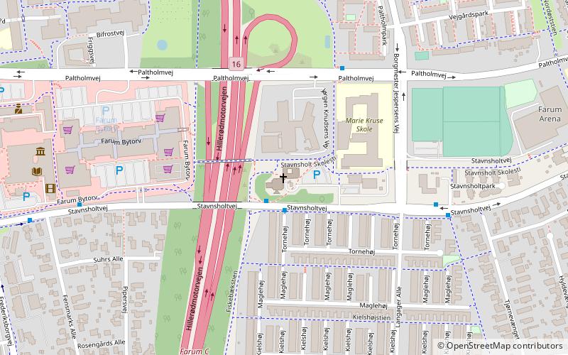
Map
Map
Facts and practical information
Stavnsholtkirken (address: Stavnsholtvej 25) is a place located in Farum (Hovedstaden region) and belongs to the category of church.
It is situated at an altitude of 121 feet, and its geographical coordinates are 55°48'50"N latitude and 12°23'6"E longitude.
Planning a visit to this place, one can easily and conveniently get there by public transportation. Stavnsholtkirken is a short distance from the following public transport stations: Farum (light rail, 12 min walk), Farum st. (bus, 12 min walk).
Among other places and attractions worth visiting in the area are: Farum Kulturhus (museum, 8 min walk), Farum Arena, Copenhagen (sport venue, 9 min walk), Furesøbad, Copenhagen (beach, 19 min walk).
Coordinates: 55°48'50"N, 12°23'6"E
Getting there by public transportation
Public transportation stops near this location
- Bus
- Light rail
 Bus
Bus
- Calculate routeFarum 12 min walk
- Calculate routeFarum st. 12 min walk
Day trips


Frequently Asked Questions (FAQ)
Which popular attractions are close to Stavnsholtkirken?
Nearby attractions include Farum Kulturhus, Farum (8 min walk), Furesøbad, Copenhagen (19 min walk).
How to get to Stavnsholtkirken by public transport?
The nearest stations to Stavnsholtkirken:
Light rail
Bus
Light rail
- Farum • Lines: B, Bx (12 min walk)
Bus
- Farum st. (12 min walk)