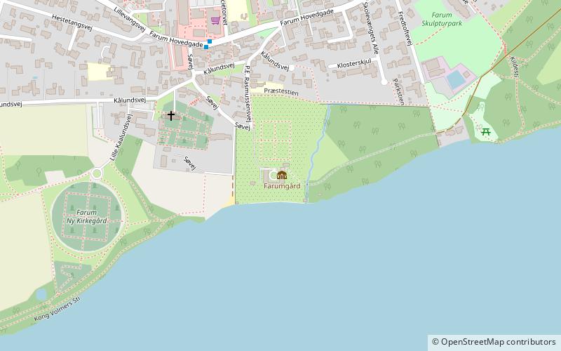
Farumgård, Farum
Map

Map

Facts and practical information
Farumgård is a former manor house overlooking Farum Lake at Farum, Furesø Municipality, in the north-western outskirts of Copenhagen, Denmark. It is located just east of Farum Church and the original Farum village. The land has been sold off and redeveloped, except for the 6 hectares park which is laid out in the Baroque style. ()
Completed: 1706 (320 years ago)Architectural style: BaroqueCoordinates: 55°48'22"N, 12°21'39"E
Address
Northern SuburbsFarum
ContactAdd
Social media
Add
Day trips
Farumgård – popular in the area (distance from the attraction)
Nearby attractions include: Farum Park, Furesøbad, Farum Lake, Stavnsholtkirken.
Frequently Asked Questions (FAQ)
Which popular attractions are close to Farumgård?
Nearby attractions include Farum Lake, Farum (6 min walk), Farum Kulturhus, Farum (22 min walk).
How to get to Farumgård by public transport?
The nearest stations to Farumgård:
Bus
Light rail
Bus
- Farum st. (17 min walk)
Light rail
- Farum • Lines: B, Bx (17 min walk)


