Skolegade, Aarhus
Map

Gallery

Facts and practical information
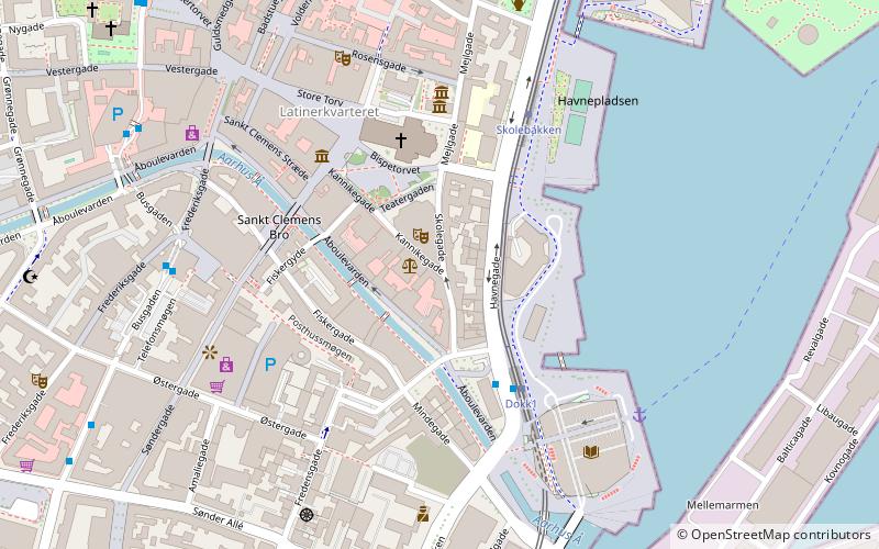
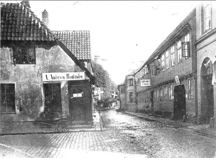
Skolegade is a street in Aarhus, Denmark which runs north to south from Mejlgade to Mindebrogade. The street is situated in the Midtbyen neighborhood. Skolegade is home to two listed buildings and runs past the Aarhus Theater. Skolegade is an area with many bars and eateries, and it has a lively nightlife. The street is from at least medieval times with many historic buildings. ()
Length: 728 ftCoordinates: 56°9'19"N, 10°12'41"E
Address
Århus C (Midtbyen)Aarhus
ContactAdd
Social media
Add
Day trips
Skolegade – popular in the area (distance from the attraction)
Nearby attractions include: Badeanstalten Spanien, Bruun's Galleri, Aarhus Cathedral, Viking Museum.
Frequently Asked Questions (FAQ)
Which popular attractions are close to Skolegade?
Nearby attractions include Aarhus Teater, Aarhus (1 min walk), Aarhus Custom House, Aarhus (2 min walk), Stykgodspakhuset, Aarhus (3 min walk), Aarhus Katedralskole, Aarhus (3 min walk).
How to get to Skolegade by public transport?
The nearest stations to Skolegade:
Bus
Tram
Train
Light rail
Bus
- Aarhus - Dokk1 • Lines: 123, 200 (3 min walk)
- Busgaden • Lines: 11, 13, 18, 1A, 2A, 3A, 4A (6 min walk)
Tram
- Dokk1 • Lines: L2 (3 min walk)
- Skolebakken • Lines: L2 (4 min walk)
Train
- Skolebakken (4 min walk)
- Aarhus Central Station (13 min walk)
Light rail
- Nørreport • Lines: L2 (11 min walk)
- Aarhus H • Lines: L2 (12 min walk)


