National Museum of Photography, Copenhagen
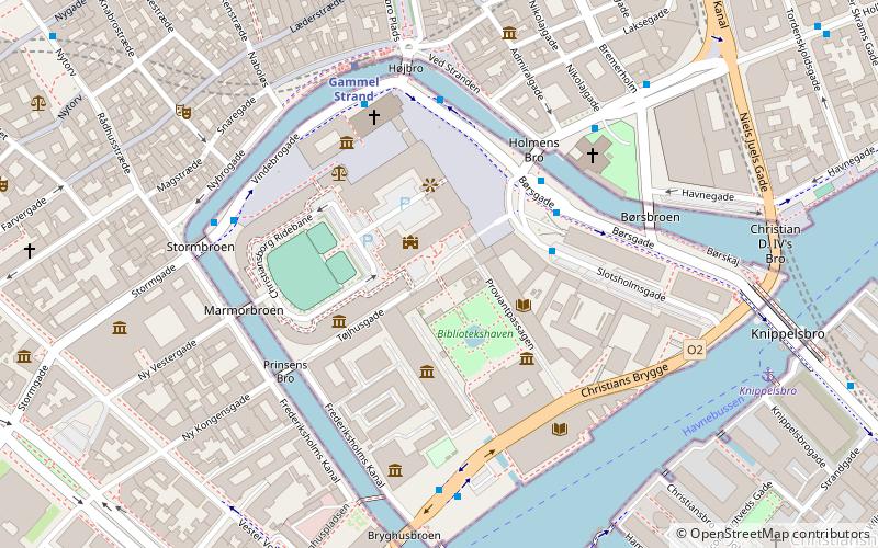
Map
Facts and practical information
The National Museum of Photography is located in the Black Diamond, a modern waterfront extension to the Royal Danish Library in Copenhagen. ()
Getting there by public transportation
Public transportation stops near this location
- Metro
- Bus
- Light rail
- Train
- Ferry
 Metro
Metro
- Calculate routeBørsen 3 min walk
- Calculate routeGammel Strand St., Christiansborg 4 min walk
- Calculate routeStormbroen, Nationalmuseet 5 min walk
- Calculate routeHolmens Kirke 5 min walk
- Calculate routeGammel Strand 5 min walk
- Calculate routeKongens Nytorv 10 min walk
- Calculate routeChristianshavn 13 min walk
- Calculate routeRådhuspladsen 13 min walk
- Calculate routeDet Kongelige Bibliotek 6 min walk
- Calculate routeKnippelsbro 7 min walk
- Calculate routeNyhavn 16 min walk
- Calculate routeOperaen 22 min walk
- Calculate routeCopenhagen Central Station 16 min walk
- Calculate routeNørreport 17 min walk
- Calculate routeHavneholmen 33 min walk
- Calculate routeNørreport 17 min walk
- Calculate routeCopenhagen Central Station 17 min walk
- Calculate routeVesterport 19 min walk
- Calculate routeDybbølsbro 28 min walk
Maps Metro
Metro
MetroDay trips


Frequently Asked Questions (FAQ)
Which popular attractions are close to National Museum of Photography?
Nearby attractions include Statue of Søren Kierkegaard, Copenhagen (2 min walk), Søren Kierkegaards Plads, Copenhagen (2 min walk), Christiansborg Palace, Copenhagen (2 min walk), Royal Library Garden, Copenhagen (2 min walk).
How to get to National Museum of Photography by public transport?
The nearest stations to National Museum of Photography:
Bus
Metro
Ferry
Train
Light rail
Bus
- Børsen • Lines: 2A (3 min walk)
- Gammel Strand St., Christiansborg • Lines: 23, 2A (4 min walk)
Metro
- Gammel Strand • Lines: M3, M4 (5 min walk)
- Kongens Nytorv • Lines: M1, M2, M3, M4 (10 min walk)
Ferry
- Det Kongelige Bibliotek • Lines: 991, 992 (6 min walk)
- Knippelsbro • Lines: 991, 992 (7 min walk)
Train
- Copenhagen Central Station (16 min walk)
- Nørreport (17 min walk)
Light rail
- Nørreport • Lines: A, B, Bx, C, E, H (17 min walk)
- Copenhagen Central Station • Lines: A, B, Bx, C, E, H (17 min walk)