Tusindårsskoven, Odense
Map

Map

Facts and practical information
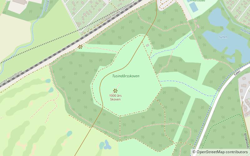
Tusindårsskoven is a forest in southwestern Odense, Funen, Denmark. Measuring approximately 74,000 square metres, it is located between the districts Bolbro and Sanderum, and is situated between the railway and the Odense Adventure Golf. The open grass area features a hill and is surrounded by newer afforestation. The forest was established in 1988, in connection with Odense Municipality's celebration of the city's thousandth anniversary. ()
Area: 18.29 acres (0.0286 mi²)Elevation: 66 ft a.s.l.Coordinates: 55°22'56"N, 10°20'22"E
Day trips
Tusindårsskoven – popular in the area (distance from the attraction)
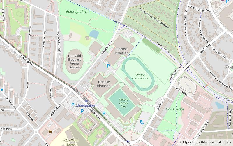
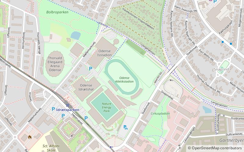
Nearby attractions include: Odense Stadium, Bolbro Hill, Odense Isstadion, Assistenskirkegårdens Kapel.
Frequently Asked Questions (FAQ)
How to get to Tusindårsskoven by public transport?
The nearest stations to Tusindårsskoven:
Train
Train
- Odense Sygehus (28 min walk)


