Holmen, Copenhagen
Map
Gallery
Facts and practical information
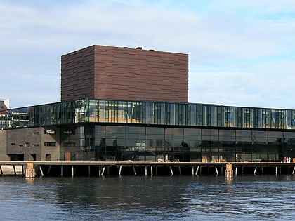
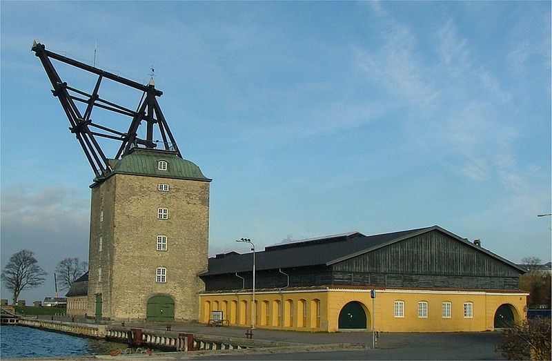
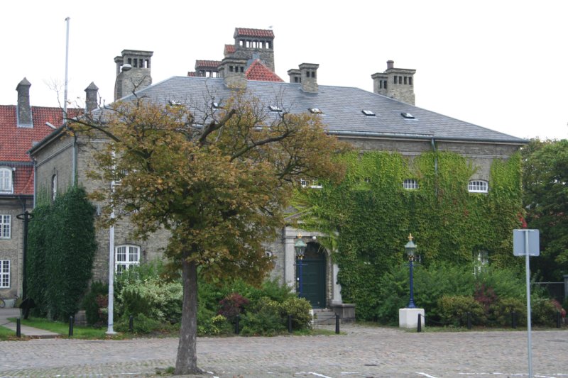
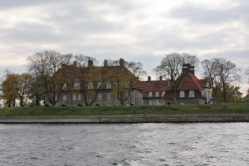
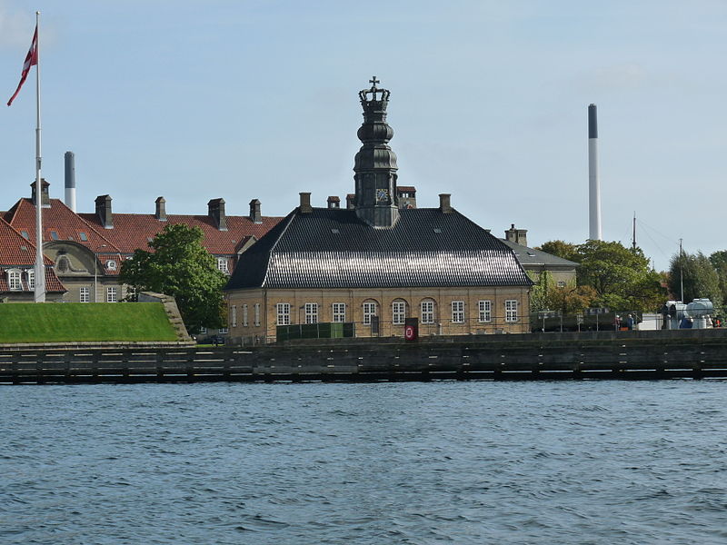
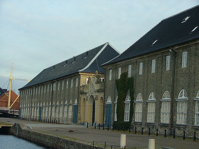
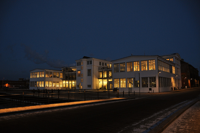
Holmen is a water-bound neighbourhood in Copenhagen, Denmark, occupying the former grounds of the Royal Naval Base and Dockyards. In spite of its name, deceptively in singular, Holmen is a congregation of small islands, forming a north-eastern extension of Christianshavn between Zealand and the northern tip of Amager. ()
Coordinates: 55°40'48"N, 12°36'13"E
Address
ChristianshavnCopenhagen
ContactAdd
Social media
Add
Day trips
Holmen – popular in the area (distance from the attraction)
Nearby attractions include: Købmagergade, Jazzhus Montmartre, Karel van Mander House, Copenhagen Opera House.
Frequently Asked Questions (FAQ)
Which popular attractions are close to Holmen?
Nearby attractions include Copenhagen Opera House, Copenhagen (5 min walk), Trangraven, Copenhagen (6 min walk), Bodenhoffs Plads, Copenhagen (8 min walk), Nordatlantens Brygge, Copenhagen (8 min walk).
How to get to Holmen by public transport?
The nearest stations to Holmen:
Bus
Ferry
Metro
Train
Light rail
Bus
- Galionsvej, Operaen • Lines: 2A (1 min walk)
- Fabrikmestervej • Lines: 2A (5 min walk)
Ferry
- Operaen • Lines: 991, 992 (6 min walk)
- Holmen Nord • Lines: 991, 992 (7 min walk)
Metro
- Marmorkirken • Lines: M3, M4 (17 min walk)
- Kongens Nytorv • Lines: M1, M2, M3, M4 (18 min walk)
Train
- Østerport (28 min walk)
Light rail
- Østerport • Lines: A, B, Bx, C, E, H (28 min walk)



 Metro
Metro


