Vesterbro, Aarhus
Map
Gallery

Facts and practical information
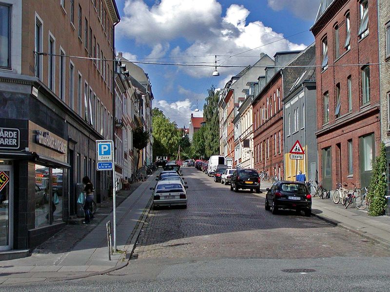
Vesterbro is a neighbourhood of Aarhus, Denmark. It is located in the Aarhus C district, west of the city centre of Indre By. Vesterbro used to be farmland outside the city walls, and the neighbourhood's development progressed, when the city walls of Aarhus were demolished in 1851. ()
Address
Århus C (Vesterbro)Aarhus
ContactAdd
Social media
Add
Day trips
Vesterbro – popular in the area (distance from the attraction)
Nearby attractions include: The Old Town, Badeanstalten Spanien, Bruun's Galleri, Aarhus Botanical Gardens.
Frequently Asked Questions (FAQ)
Which popular attractions are close to Vesterbro?
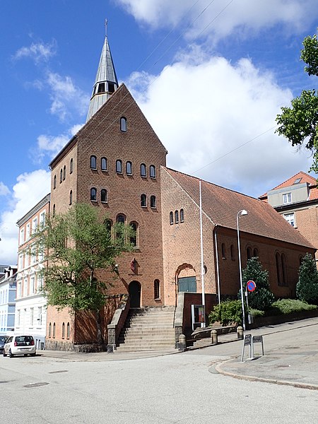
Nearby attractions include St. Mark's Church, Aarhus (2 min walk), Aarhus Methodist Church, Aarhus (5 min walk), Science Museums, Aarhus (6 min walk), Vesterbro Torv, Aarhus (7 min walk).
How to get to Vesterbro by public transport?
The nearest stations to Vesterbro:
Bus
Light rail
Tram
Train
Bus
- Klostervangen • Lines: 22 (2 min walk)
- Skt. Marcus Kirkeplads • Lines: 13, 2A (3 min walk)
Light rail
- Nørreport • Lines: L2 (13 min walk)
- Aarhus Universitet/Nordre Ringgade • Lines: L2 (19 min walk)
Tram
- Nørreport • Lines: L2 (13 min walk)
- Universitetsparken • Lines: L2 (13 min walk)
Train
- Skolebakken (17 min walk)
- Østbanetorvet (18 min walk)


