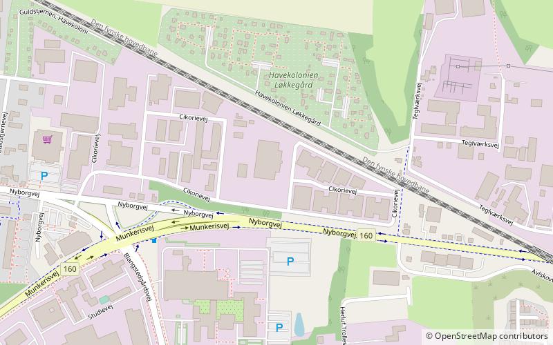
Odense Gokart Hal, Odense

Gallery (1)
Map
Map
Facts and practical information
Odense Gokart Hal (address: Cikorievej 32) is a place located in Odense (Syddanmark region) and belongs to the category of restaurant, nightlife, drinks.
It is situated at an altitude of 46 feet, and its geographical coordinates are 55°23'33"N latitude and 10°26'34"E longitude.
Among other places and attractions worth visiting in the area are: Rosengårdcentret (shopping, 23 min walk), Arena Fyn (arenas and stadiums, 38 min walk), Simgolf Fyn (golf, 42 min walk).
Coordinates: 55°23'33"N, 10°26'34"E
Day trips