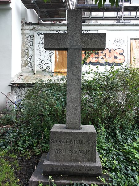
Sct. Oluf, Aarhus
Map
Gallery
Facts and practical information
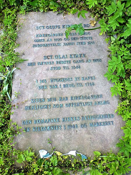
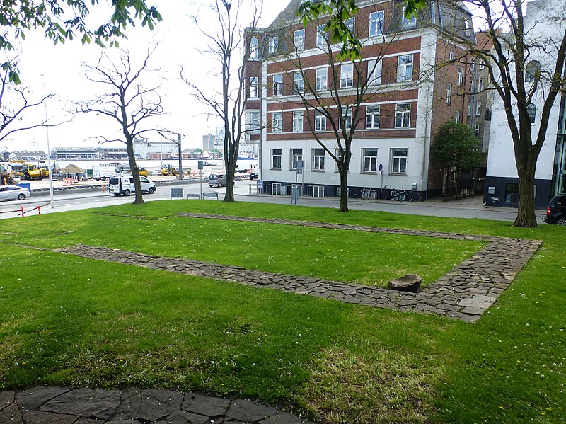
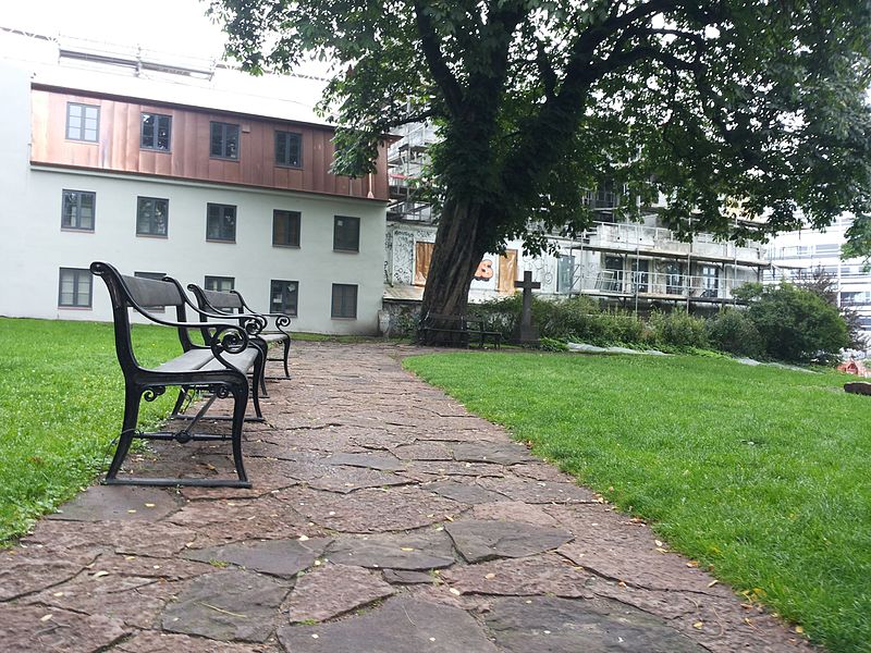
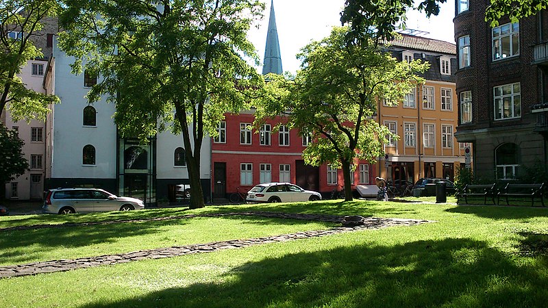
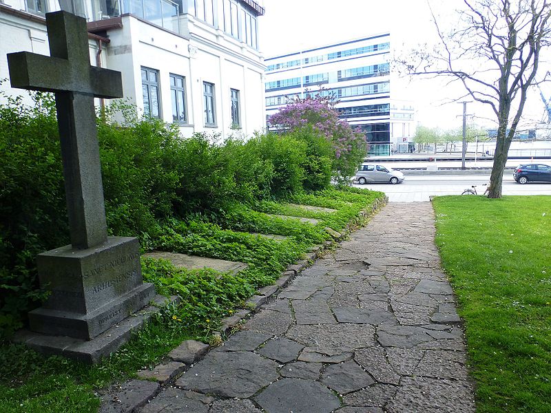
St. Oluf Cemetery is a small public park and historic site in central Aarhus, Denmark. The park is situated by the coast in the city center of Midtbyen, in the Latin Quarter, bounded by the streets of Kystvejen and St. Olufs Stræde, overlooking the Docklands and the Bay of Aarhus in the East. It is one of only two green spaces in the historic inner city, the other one being Frue Kirkeplads at the Church of Our Lady, but is one of five protected scheduled monuments. ()
Local name: Sankt Olufs KirkeCreated: XVII centuryElevation: 23 ft a.s.l.Coordinates: 56°9'32"N, 10°12'43"E
Day trips
Sct. Oluf – popular in the area (distance from the attraction)
Nearby attractions include: Badeanstalten Spanien, Bruun's Galleri, Aarhus Cathedral, Viking Museum.
Frequently Asked Questions (FAQ)
Which popular attractions are close to Sct. Oluf?
Nearby attractions include Mejlgade, Aarhus (1 min walk), Juul's House, Aarhus (2 min walk), Graven, Aarhus (2 min walk), Ryesgade, Aarhus (2 min walk).
How to get to Sct. Oluf by public transport?
The nearest stations to Sct. Oluf:
Bus
Tram
Train
Light rail
Bus
- Aarhus - Navitas/Kystvejen • Lines: 123, 200 (2 min walk)
- Nørregade • Lines: 18, 1A (5 min walk)
Tram
- Skolebakken • Lines: L2 (4 min walk)
- Nørreport • Lines: L2 (5 min walk)
Train
- Skolebakken (4 min walk)
- Østbanetorvet (9 min walk)
Light rail
- Nørreport • Lines: L2 (5 min walk)
- Aarhus H • Lines: L2 (18 min walk)


