Christianshavns Torv, Copenhagen
Map

Gallery

Facts and practical information
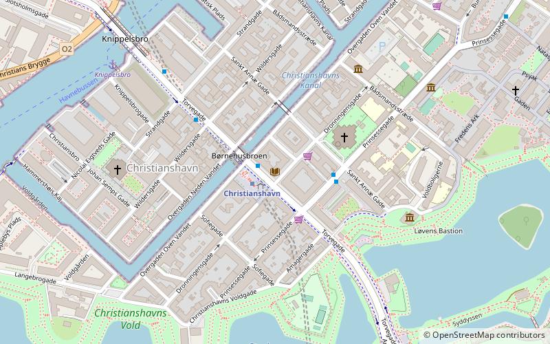
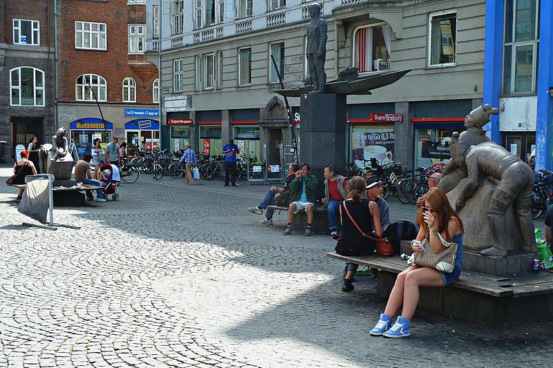
Christianshavns Torv is the central public square of the Christianshavn neighborhood in Copenhagen, Denmark. It is situated at the intersection of Torvegade and Christianshavn Canal, roughly at the center of the area. ()
Day trips
Christianshavns Torv – popular in the area (distance from the attraction)
Nearby attractions include: Købmagergade, Karel van Mander House, Church of Our Saviour, Charlottenborg Palace.
Frequently Asked Questions (FAQ)
Which popular attractions are close to Christianshavns Torv?
Nearby attractions include Dronningensgade, Copenhagen (1 min walk), Overgaden, Copenhagen (2 min walk), Sankt Annæ Gade, Copenhagen (2 min walk), Steinfass House, Copenhagen (3 min walk).
How to get to Christianshavns Torv by public transport?
The nearest stations to Christianshavns Torv:
Bus
Metro
Ferry
Train
Light rail
Bus
- Christianshavn St. • Lines: 2A (1 min walk)
- Skt. Annæ Gade • Lines: 2A (2 min walk)
Metro
- Christianshavn • Lines: M1, M2 (1 min walk)
- Kongens Nytorv • Lines: M1, M2, M3, M4 (15 min walk)
Ferry
- Knippelsbro • Lines: 991, 992 (7 min walk)
- Det Kongelige Bibliotek • Lines: 991, 992 (12 min walk)
Train
- Copenhagen Central Station (27 min walk)
- Nørreport (28 min walk)
Light rail
- Copenhagen Central Station • Lines: A, B, Bx, C, E, H (28 min walk)
- Nørreport • Lines: A, B, Bx, C, E, H (29 min walk)

 Metro
Metro


