Skjoldhøjkilen, Aarhus
Map

Map

Facts and practical information
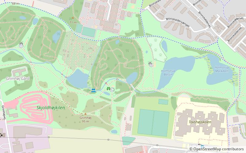
Skjoldhøjkilen is a recreational and natural site, in the district of Brabrand in the western part of Aarhus in Denmark. It stretches westwards from Hasle Hills, like a wavy green strip of meadows, small lakes and woodlands. It is 3.5 km long and just as Hasle Hills, it is administered by the self-governing institution 'Hasle Bakker'. ()
Elevation: 220 ft a.s.l.Coordinates: 56°10'7"N, 10°7'56"E
Address
Tilst (Skjoldhøj)Aarhus
ContactAdd
Social media
Add
Day trips
Skjoldhøjkilen – popular in the area (distance from the attraction)
Nearby attractions include: Gellerup, Brabrand Church, Åbyhøj Church, Hasle Kirke.
Frequently Asked Questions (FAQ)
Which popular attractions are close to Skjoldhøjkilen?
Nearby attractions include Hasle Hills, Aarhus (11 min walk), Skjoldhøj Kirke, Aarhus (15 min walk), Aarhus Runestones, Aarhus (16 min walk).
How to get to Skjoldhøjkilen by public transport?
The nearest stations to Skjoldhøjkilen:
Bus
Bus
- Holmstrup • Lines: 3A (9 min walk)
- Runebakken • Lines: 3A (11 min walk)


